Ōnojō (大野城市, Ōnojō-shi?) is an area located in Fukuoka Prefecture, Japan. Its name is made up of the kanji for 'big', 'field', and 'castle'. It is mostly a southern suburb of the city of Fukuoka, and has a border to the northwest with the Hakata-ku area of the city. It also shares borders with Dazaifu and Kasuga, Umi, Chikushino, Nakagawa and Shime. The border with Umi is marked by the summit of Otoganayama at 268 metres above sea level, a wide expanse of deciduous and bamboo forest, uninhabited except by the occasional snake. The Mikasa river flows through Ōnojō on its way to Hakata bay, with some of its tributaries such as Cow neck river originating in the mountains in the south. Ducks, turtles, egrets and Japanese Wagtails can be seen in or around the river, depending on the season.
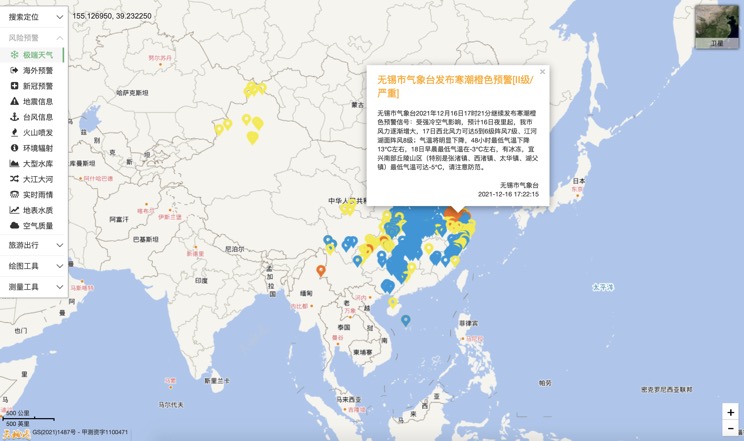
Extreme weather in China
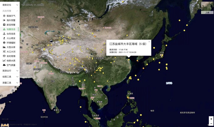
China Earthquake Information
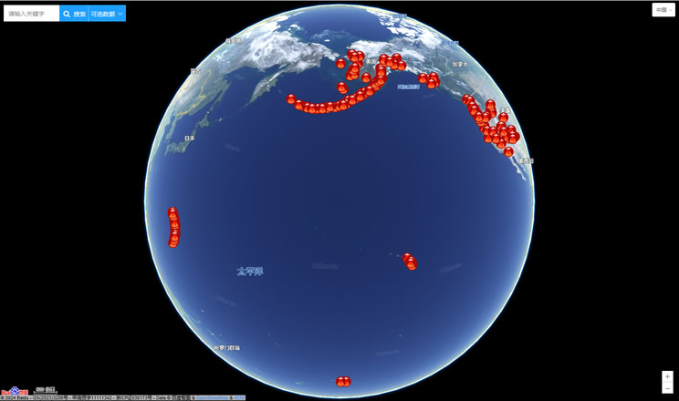
Volcano eruption
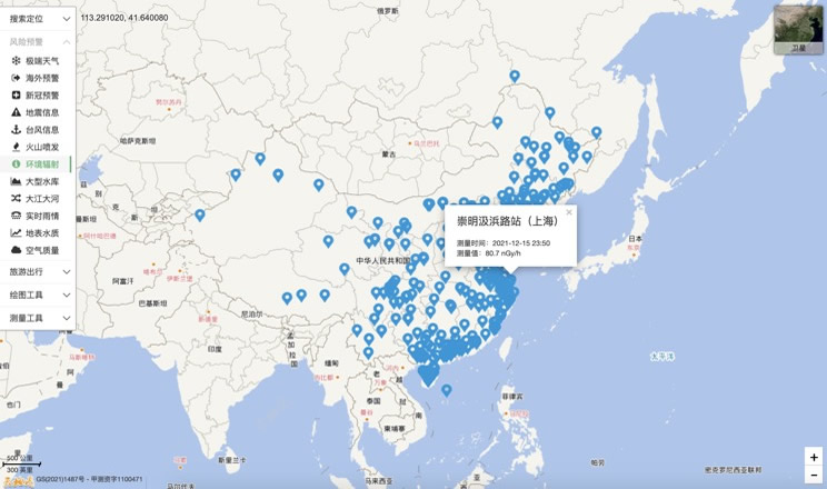
Environmental Radiation in China
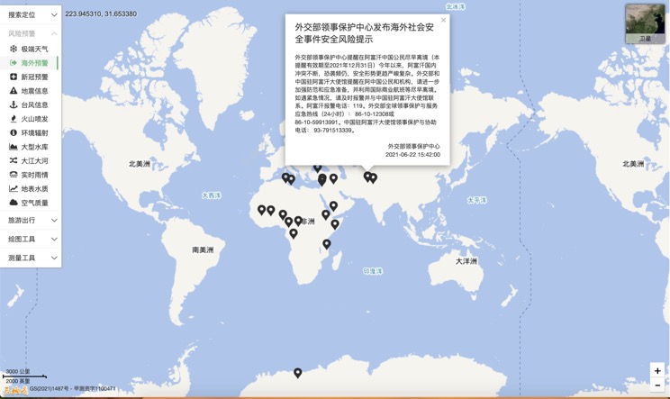
Overseas Warning
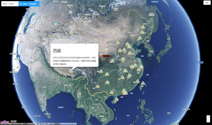
China's air quality
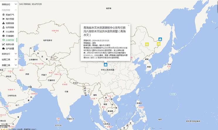
China's Water Disaster Alert
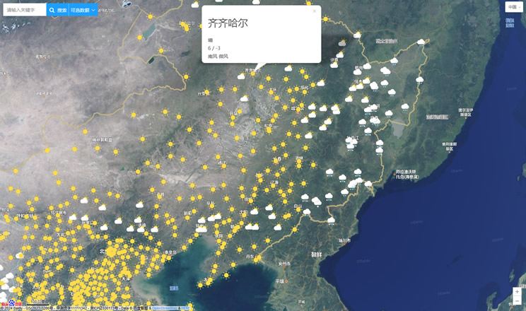
China Weather Forecast
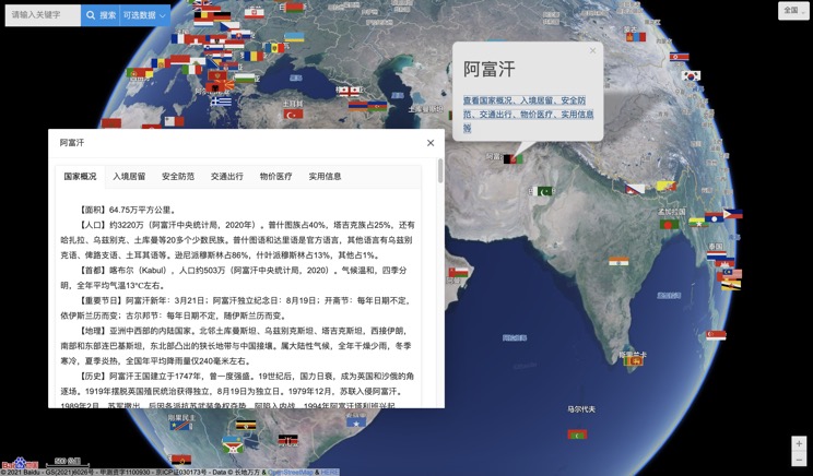
Introduction to Countries
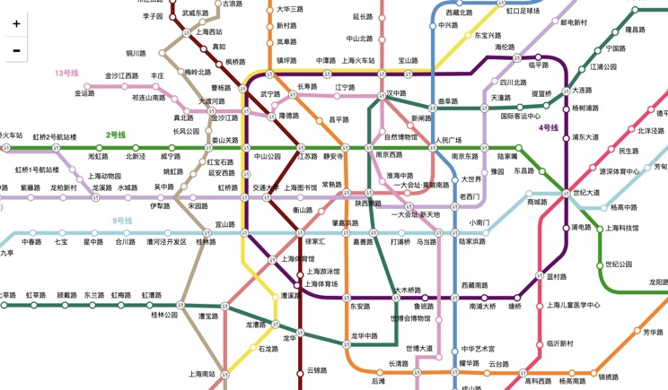
China Subway Lines
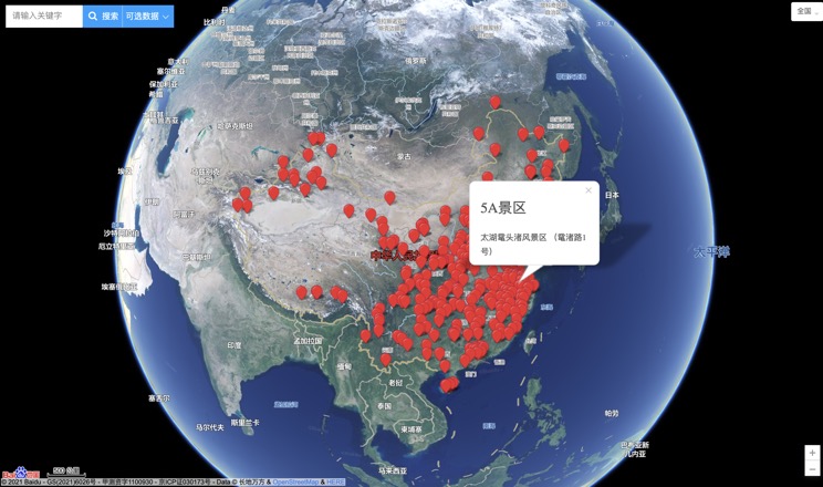
China's 5A Scenic Spots
Provincial Capitals in China
