Wales i/ˈweɪlz/ (Welsh: Cymru; Welsh pronunciation: [ˈkəm.rɨ] ) is a country that is part of the United Kingdom and the island of Great Britain, bordered by England to its east and the Atlantic Ocean and Irish Sea to its west. It had a population in 2011 of 3,064,000, and has a total area of 20,779 km2 (8,023 sq mi). Wales has over 1,200 km (750 mi) of coastline, including its offshore islands; the largest, Anglesey (Ynys Môn), is also the largest island in the Irish Sea. Wales is largely mountainous, with its highest peaks in the north and central areas, especially in Snowdonia (Eryri), which contains Snowdon (Yr Wyddfa), its highest summit.
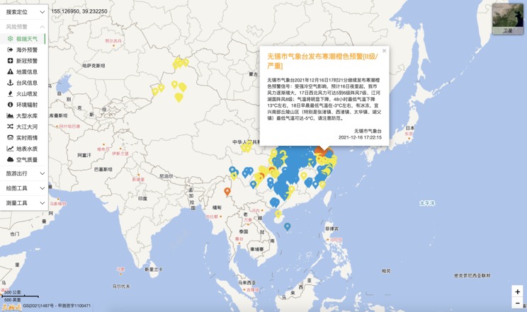
Extreme weather in China
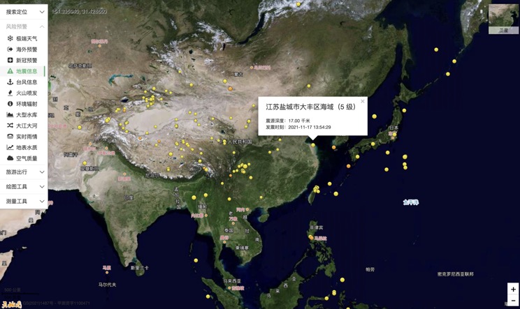
China Earthquake Information
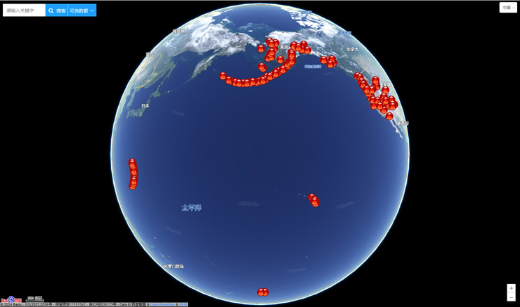
Volcano eruption
Environmental Radiation in China
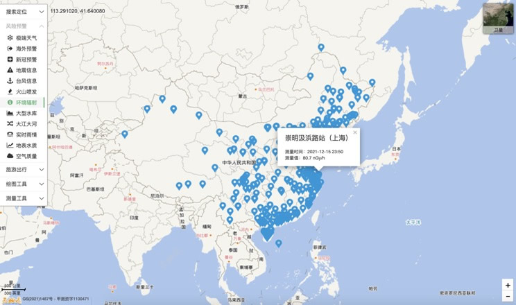
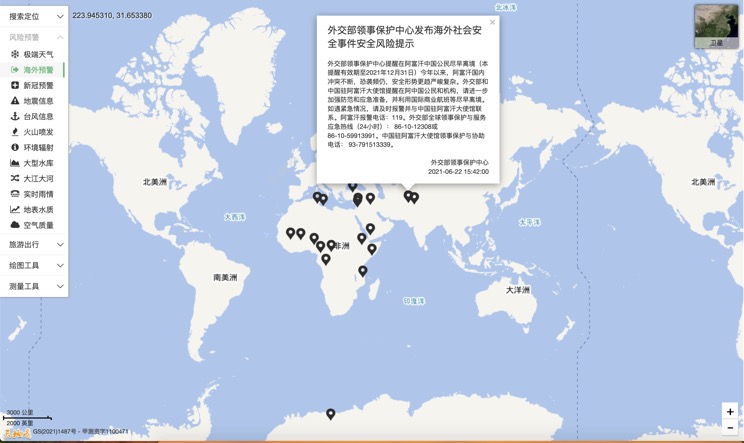
Overseas Warning
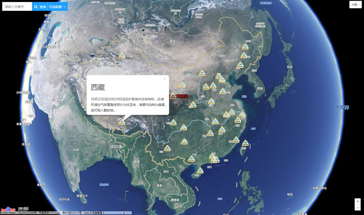
China's air quality
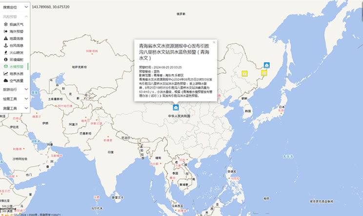
China's Water Disaster Alert
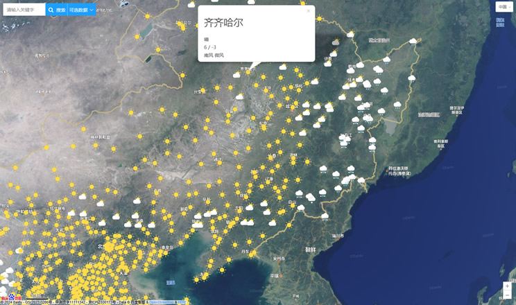
China Weather Forecast
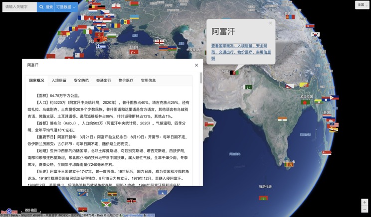
Introduction to Countries
China Subway Lines

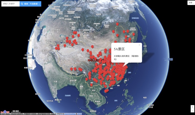
China's 5A Scenic Spots
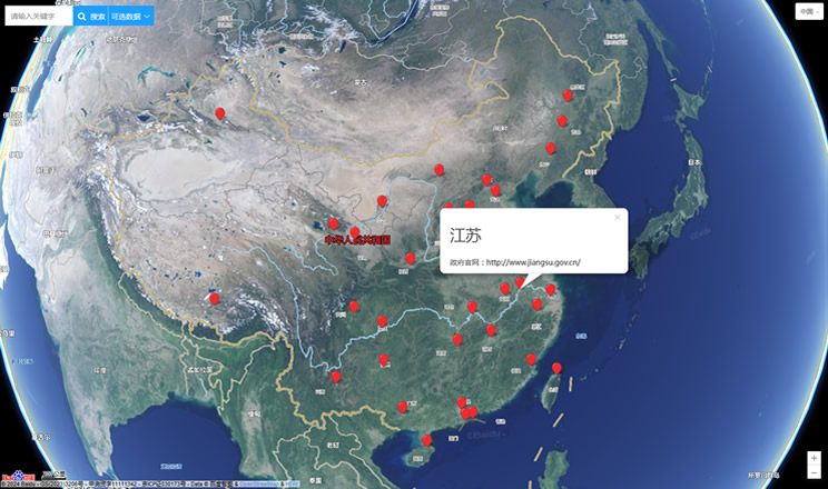
Provincial Capitals in China
