Tikamgarh ( ٹیکمگاڑھ ) is a city and a tehsil, in Tikamgarh district, Madhya Pradesh, it also the district headquarter. The earlier name of the town was 'Tehri' (i..e. a triangle) consisting of three hamlets, forming a rough triangle. In the Tikamgarh town there is muhalla still known as 'Purani Tehri'. Until Indian independence in 1947, Tikamgarh, formerly called Tehri, was part of the kingdom of Orchha, which was founded in the 16th century by the Bundeli chief Rudra Pratap, who became the first Raja of Orchha. In 1783 the capital of the state was moved to Tehri, about 40 miles south of Orchha, which was home to the fort of Tikamgarh, and the town eventually took the name of the fort. The district is famous for the old fort of Kundar known as Garh Kundar, which was built by Khangars and remained the capital of kshatriya Khangar rulers from 1180 to 1347.
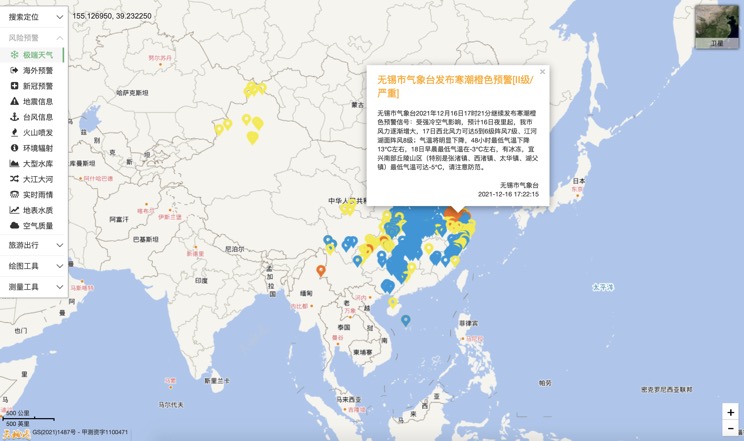
Extreme weather in China
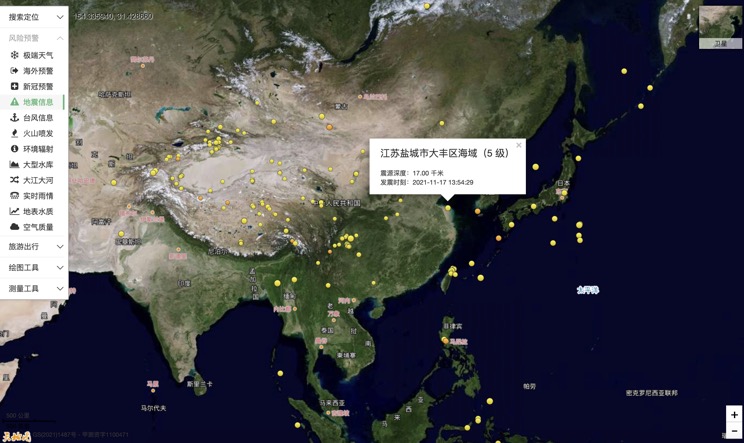
China Earthquake Information
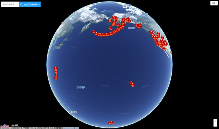
Volcano eruption
Environmental Radiation in China
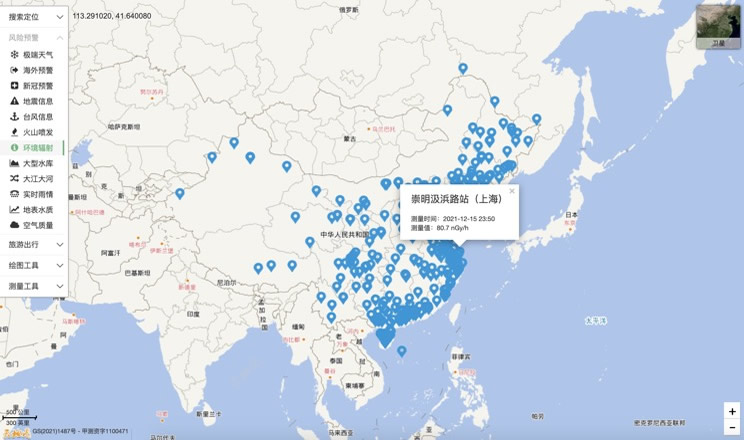
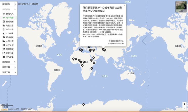
Overseas Warning
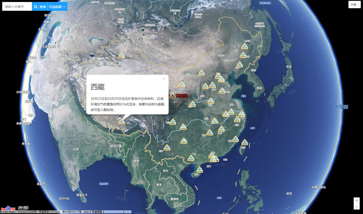
China's air quality
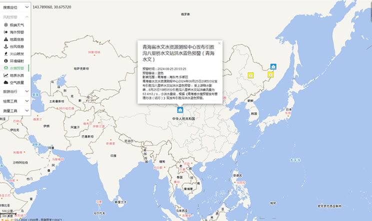
China's Water Disaster Alert
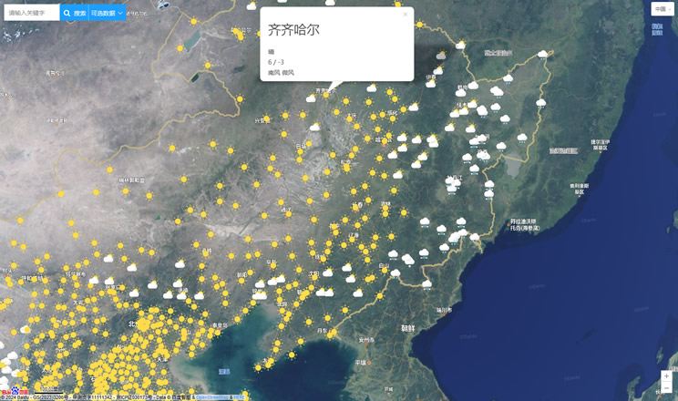
China Weather Forecast
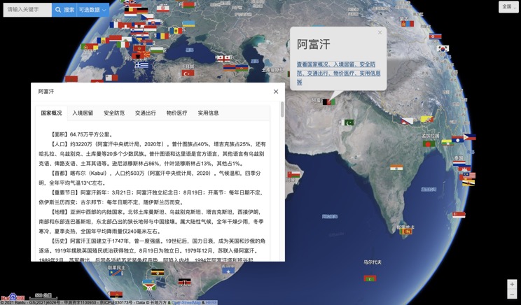
Introduction to Countries
China Subway Lines

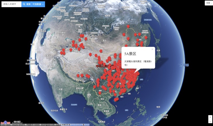
China's 5A Scenic Spots
Provincial Capitals in China
