TashirՏաշիրTashirՏաշիրCoordinates: 41°07′28″N 44°16′55″E / 41.12444°N 44.28194°E / 41.12444; 44.28194Country ArmeniaMarzLoriEstablished1844Population (2008) • Total7,586Coordinates: 41°07′28″N 44°16′55″E / 41.12444°N 44.28194°E / 41.12444; 44.28194 Tashir (Armenian: Տաշիր; formerly, Vorontsovka, Kalinino, Kaliniko, and Kalinin) is a town located in Lori province (marz). Population -7856.0 Territory- 79.5 km2. It is a city in the district of Tashir, administrative centre of previous district of Kalinino. Distance from regional centre is 42 km. It was established in 1844 by Russians who were moved here by order of Russian Empery, from region of Saratov and was called after vice-king of Caucasus- Vorontsovka. In 1935 it was renamed after revolutionary Kalinin and was called Kalinino. Since 1961 it became a city like settlement, and in 1983 it became a city. It was renamed Tashir in 1991. The city is on the road Stepanavan -Tbilisi, on a valley. Height from sea level is 1500 m. Climate is temperate, average temperature in January is -4.90, and July-18-20. Annual precipitations are 420 mm. Natural land shafts are black land prairies and Alpine meadows. There are marshlands. In 1886 population of Tashir was 2284, in 1897-3076, in 1926-4042, in 1939-4245, in 1959-4766, the majority of the population were Russians. Till 1988-1989 there also lived Azerbaijanis, who migrated to Azerbaijan in the years when it was conflict between the two nations. According to data of National Statistical Service there were 9,1 thousand people on January 1, 2005. Men are 43% and women-57% of the population. Age groups are divided as follows: pre able-bodied-25%, able bodied-60%, and post able-bodied-15%. There are 3 secondary schools (Armenian and Russian), a house of culture, libraries, kindergartens, a sports ground, a sports school, a music school, a dispensary, a hospital, a maternity house, and a knot of communication. The main specialization of the city is industry, and the specific weight occupies food production. Here is built a factory of Swiss cheese, which produces chesses Lori and Chanakh. There is a factory of bread, production of milk and dairy produce. The inhabitants work on cultivation. 32% of the lands are privatized, 71% of which are arable lands, 29% - pastures. Half of the state importance lands is 1660 hectare. The lands are also used as arable lands and meadows, accordingly 951 and 581 hectare. They also work on growing of grain, melons and gourds, potatoes and fruits, cattle-breeding, pig-breeding, poultry farming and bee-keeping. Among the problems of the community are renewing of school furniture, reconstruction of intercommunity roads, reconstruction of sewage system of drinking water, street lighting and reconstruction of monuments.
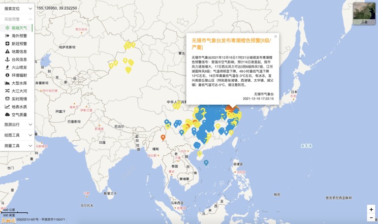
Extreme weather in China
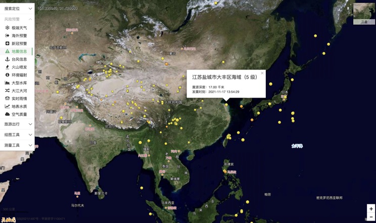
China Earthquake Information
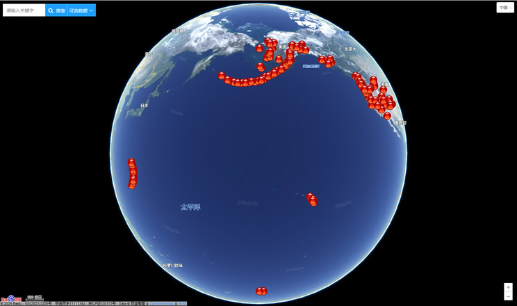
Volcano eruption
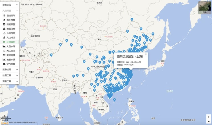
Environmental Radiation in China
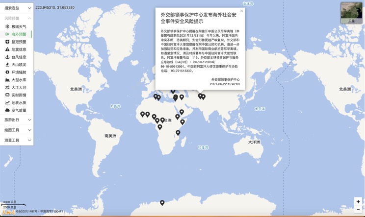
Overseas Warning
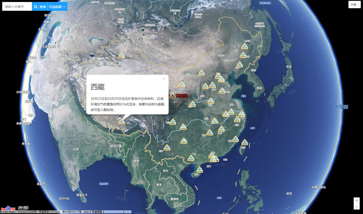
China's air quality
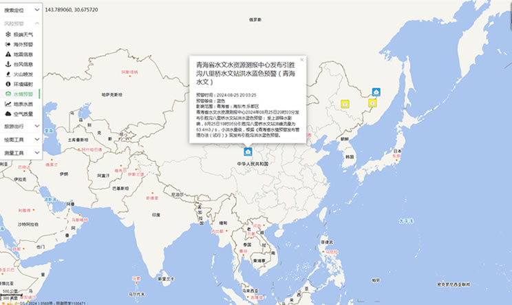
China's Water Disaster Alert
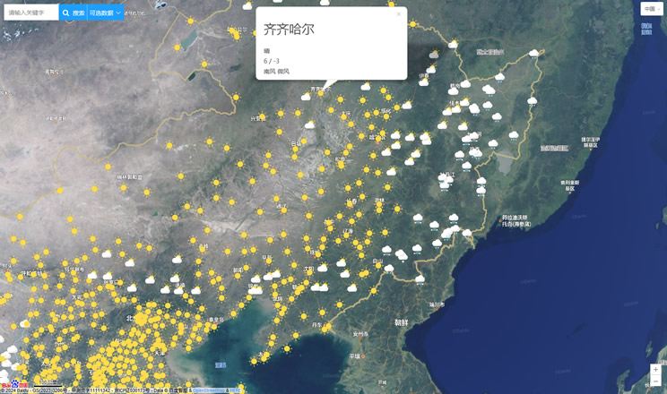
China Weather Forecast
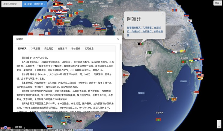
Introduction to Countries
China Subway Lines

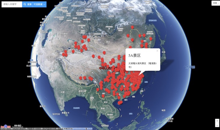
China's 5A Scenic Spots
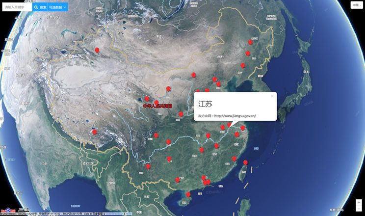
Provincial Capitals in China
