Rakhine State (Burmese: , Rakhine pronunciation [ɹəkʰàiɴ pɹènè]; Burmese pronunciation: [jəkʰàiɴ pjìnɛ̀]; formerly Arakan) is a state in Myanmar. Situated on the western coast, it is bordered by Chin State in the north, Magway Region, Bago Region and Ayeyarwady Region in the east, the Bay of Bengal to the west, and the Chittagong Division of Bangladesh to the northwest. It is located approximately between latitudes 17°30' north and 21°30' north and east longitudes 92°10' east and 94°50' east. The Arakan Mountains, which rise to 3,063 metres (10,049 ft) at Victoria Peak, separate Rakhine State from central Myanmar. Off the coast of Rakhine State there are some fairly large islands such as Cheduba and Myingun Island. Rakhine State has an area of 36,762 square kilometres (14,194 sq mi) and its capital is Sittwe.
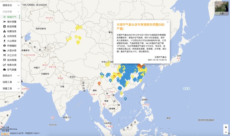
Extreme weather in China
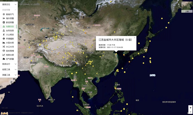
China Earthquake Information
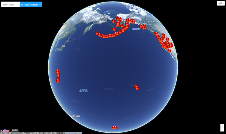
Volcano eruption
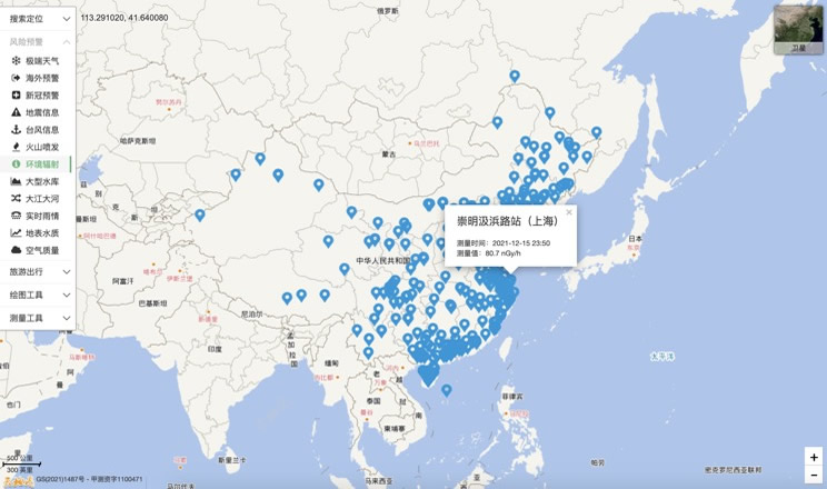
Environmental Radiation in China
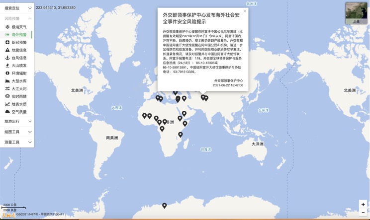
Overseas Warning
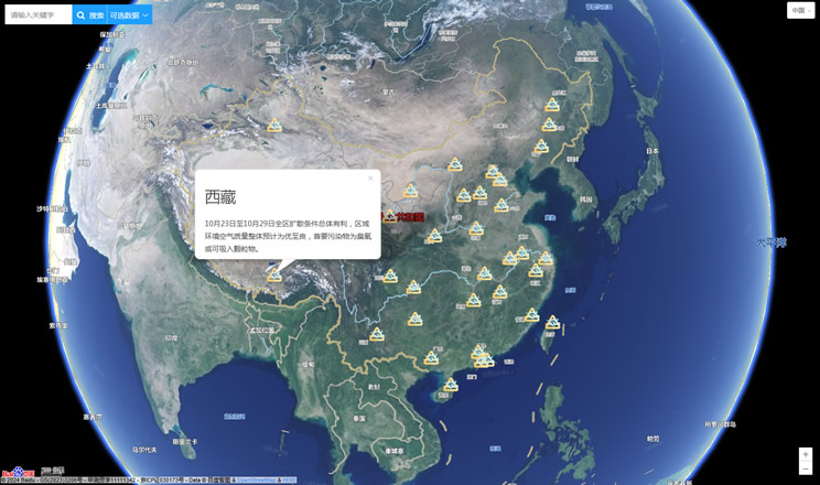
China's air quality
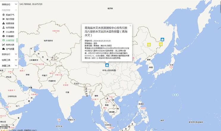
China's Water Disaster Alert
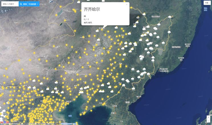
China Weather Forecast
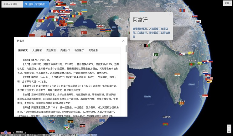
Introduction to Countries
China Subway Lines

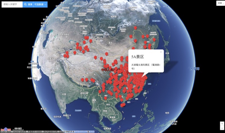
China's 5A Scenic Spots
Provincial Capitals in China
