Port-au-Prince (/ˌpɔrtoʊˈprɪns/; French pronunciation: [pɔʁopʁɛ̃s]; Haitian Creole: Pòtoprens; Haitian Creole pronunciation: [pɔtopɣɛ̃s]) is the capital and largest city of the Caribbean country of Haiti. The city's population was 704,776 as of the 2003 census, and was officially estimated to have reached 897,859 in 2009.
The city of Port-au-Prince is on the Gulf of Gonâve: the bay on which the city lies, which acts as a natural harbor, has sustained economic activity since the civilizations of the Arawaks. It was first incorporated under the colonial rule of the French, in 1749, and has been Haiti's largest metropolis since then. The city's layout is similar to that of an amphitheatre; commercial districts are near the water, while residential neighborhoods are located on the hills above. Its population is difficult to ascertain due to the rapid growth of slums in the hillsides above the city; however, recent estimates place the metropolitan area's population at around 3.7 million, nearly half of the country's national population.
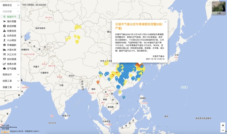
Extreme weather in China
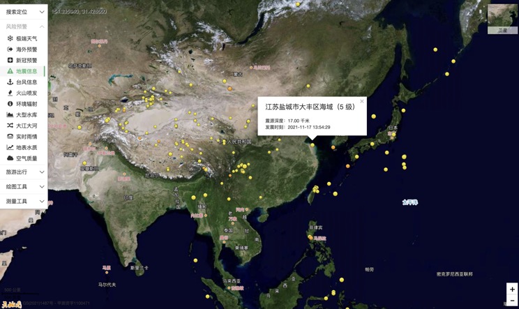
China Earthquake Information
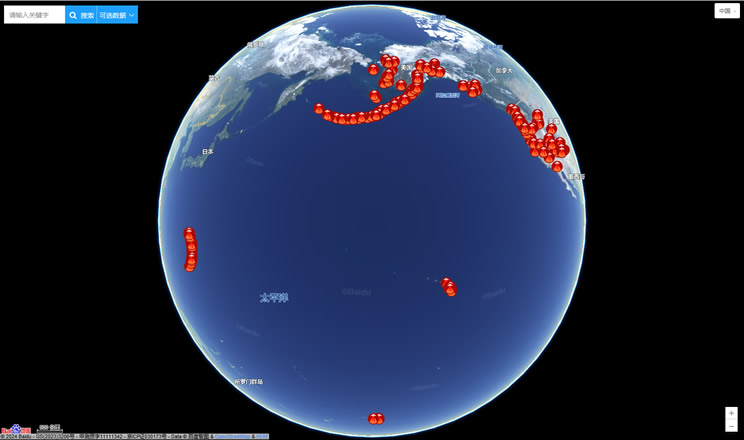
Volcano eruption
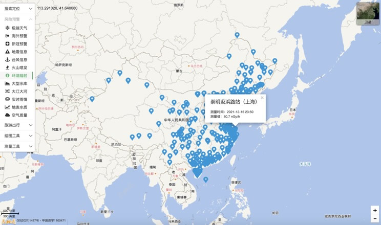
Environmental Radiation in China
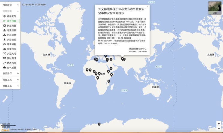
Overseas Warning
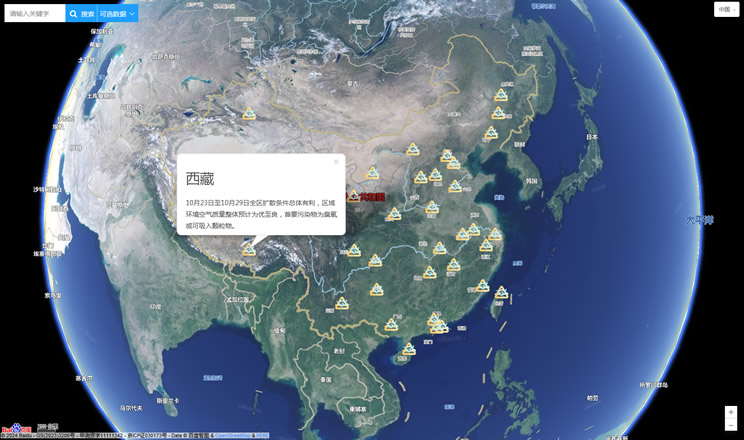
China's air quality
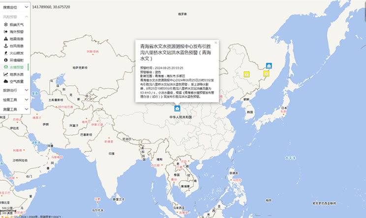
China's Water Disaster Alert
China Weather Forecast
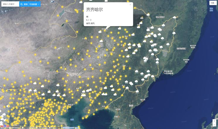
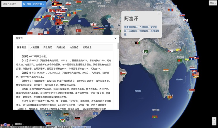
Introduction to Countries
China Subway Lines

China's 5A Scenic Spots
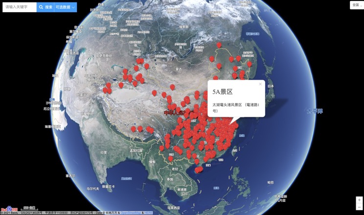
Provincial Capitals in China
