Panchagarh (Bangla: , Ponchogorh, means five forts) is a district of Rangpur division in the extreme northern part of Bangladesh with an area of 1404.63 square km, is bounded on three sides by 288 km long Indian border, having Darjeeling district on the north, Jalpaiguri and Cooch Behar Districts on the northeast, West Dinajpur District and Purnea district on the west. Dinajpur and Thakurgaon Districts on the south, Nilphamari District on the east. Its soil is sandy, alluvial and bears close affinity with the soil of the old Himalayan basin. On the northern part of the district there exists underground layer of pebbles. It is 150 feet (46 m) high from the sea level. Panchagarh has 16 rivers. Among them some main rivers are Karatoya, Atrai, Tista, Nagor, Mahananda, Tangon, Dahuk, Pathraj, Bhulli, Talma, Chawai, Kurum, Versa, Tirnoi, and Chilka.
Extreme weather in China
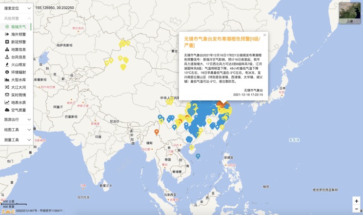
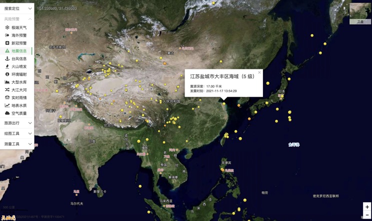
China Earthquake Information
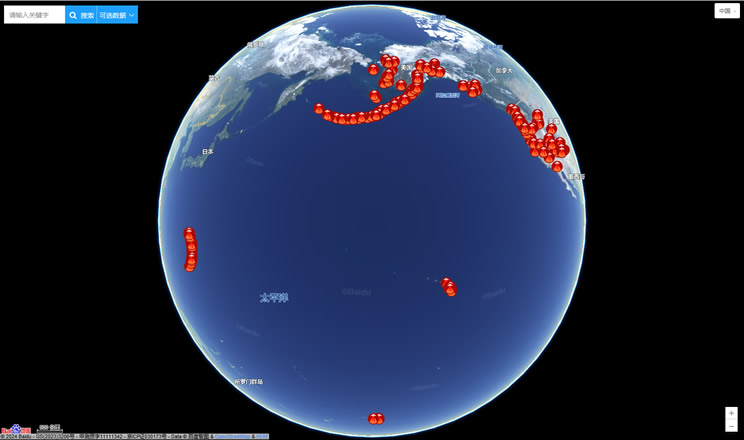
Volcano eruption
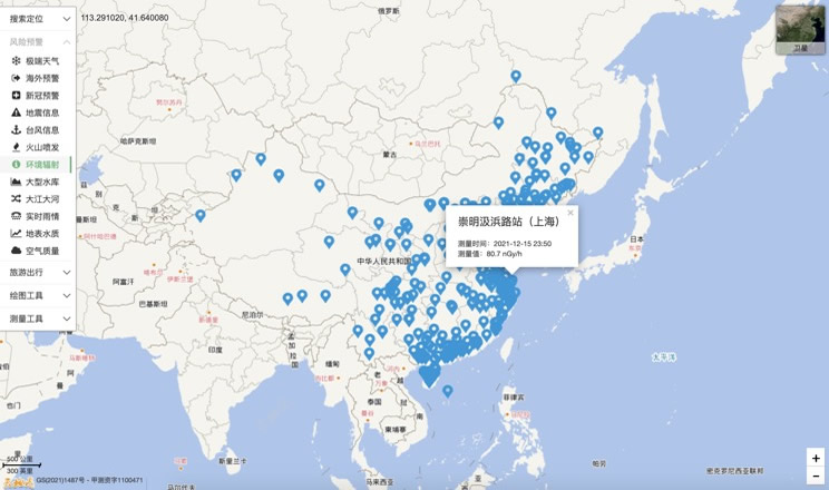
Environmental Radiation in China
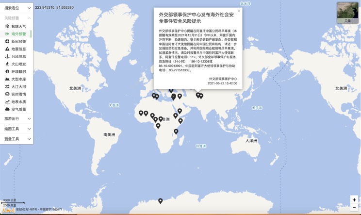
Overseas Warning
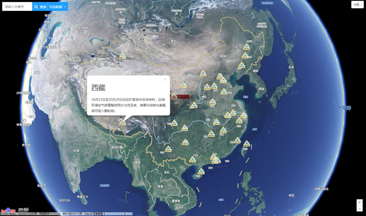
China's air quality
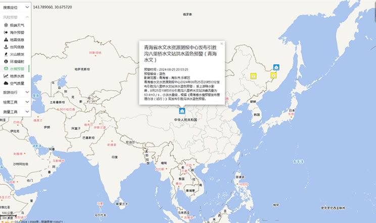
China's Water Disaster Alert
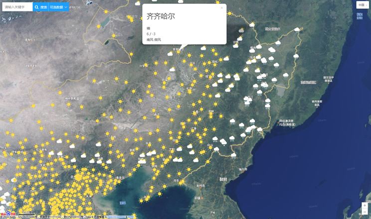
China Weather Forecast
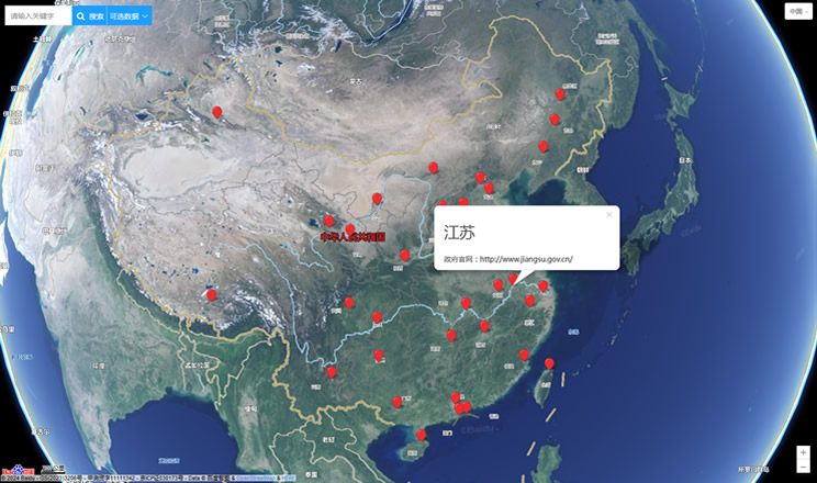
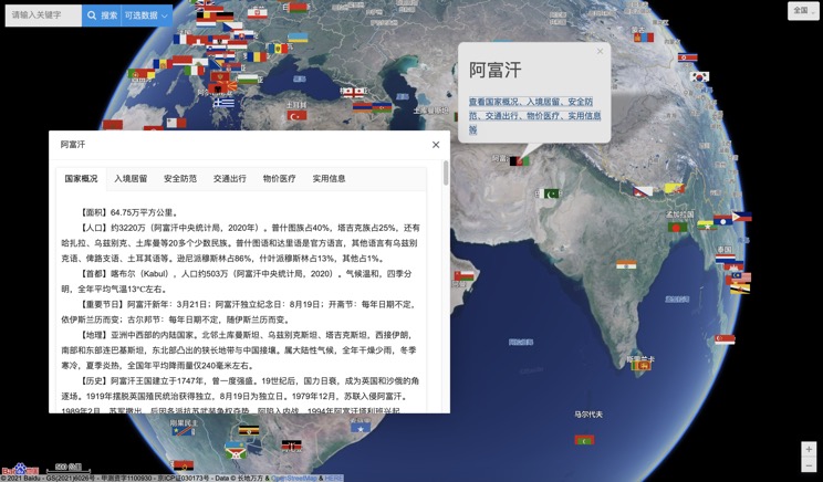
Introduction to Countries
China Subway Lines

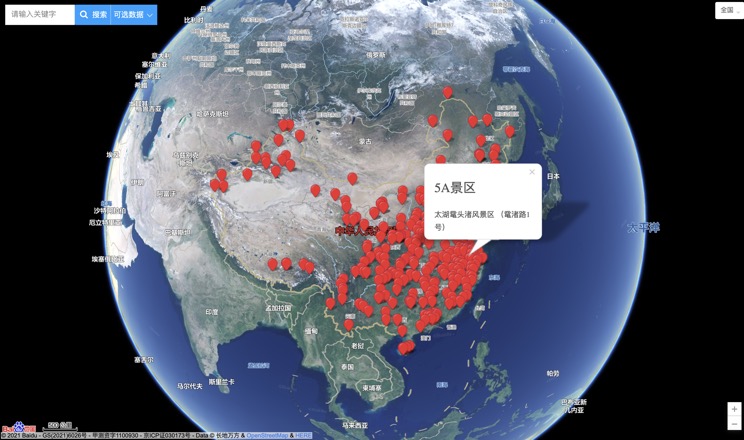
China's 5A Scenic Spots
Provincial Capitals in China
