For the next 200 years, Oracabessa functioned as a tiny agricultural community with its main crop, bananas, controlled by a small group of British landowners. The arrival of Reverend James Phillippo in 1834 changed the course of Oracabessa's history. Phillippo built the first church in Oracabessa and led a defiant protest against the local landowner's refusal to sell land to former slaves. The parish of St. Mary, where Oracabessa is located, had a large population of freedom fighters, known as Jamaican Maroons, who worked closely with Phillippo in his quest for justice. With this show of force, combined with a decree from the British Government, the landowner's relented and sold Phillippo enough land to build houses, schools, churches and businesses for the hundreds of residents in the area.
Extreme weather in China
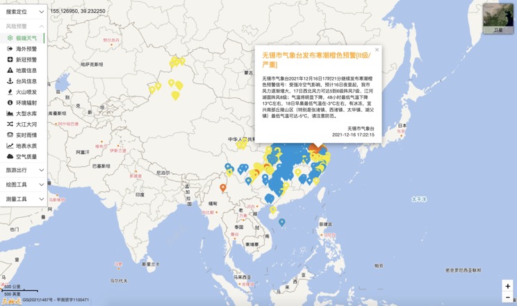
China Earthquake Information
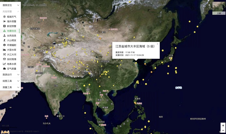
Volcano eruption

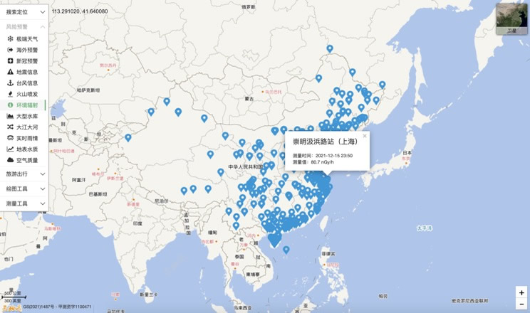
Environmental Radiation in China
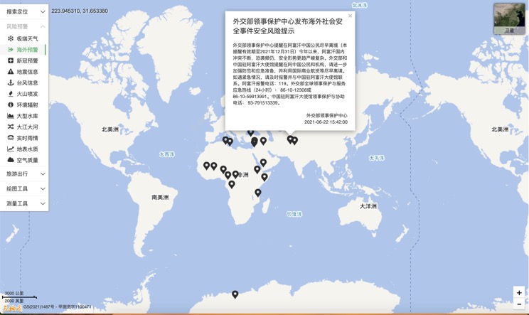
Overseas Warning
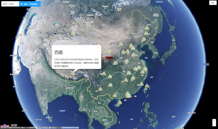
China's air quality
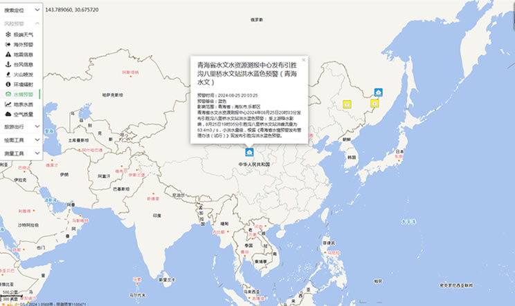
China's Water Disaster Alert
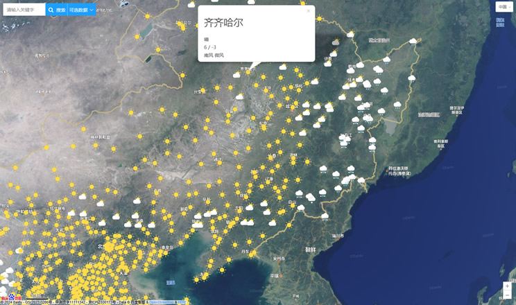
China Weather Forecast
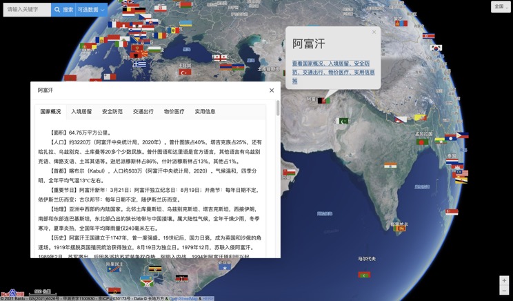
Introduction to Countries
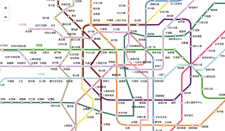
China Subway Lines
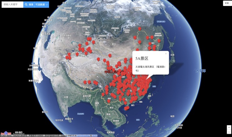
China's 5A Scenic Spots
Provincial Capitals in China
