Oola (Irish: Úlla, or Uibhle, [ˈɪvʲlʲə], from the drumlins) is a village in County Limerick, and the province of Munster, Ireland, near Limerick in the midwest of the country. The main N24 road from Limerick to Waterford passes through the town and the town of Tipperary is located 12 kilometres south-east of Oola. It has approximately 500 inhabitants. The village is home to a church (The Church of The Sacred Heart), a petrol station, a convenience store, two public houses, a playing pitch, a post office, a credit union, a hall, and a florist. In the spring of 2012 a community council was formed to help in keeping the village archives and to maintain an information resource for villagers past and present.
Extreme weather in China

China Earthquake Information

Volcano eruption

Environmental Radiation in China

Overseas Warning
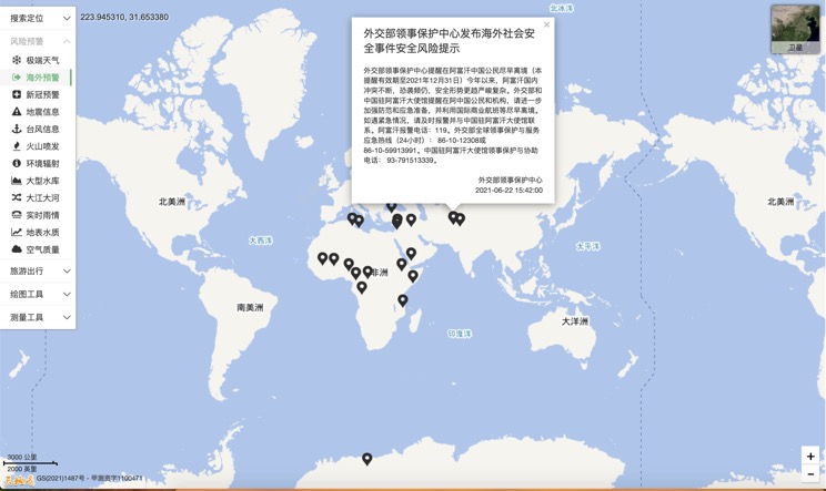
China's air quality

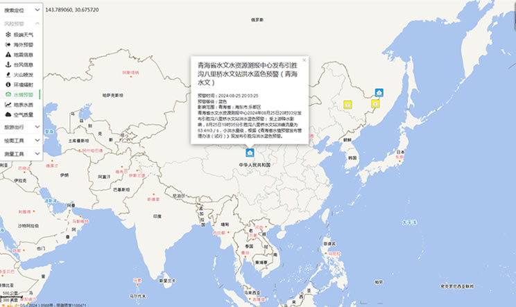
China's Water Disaster Alert
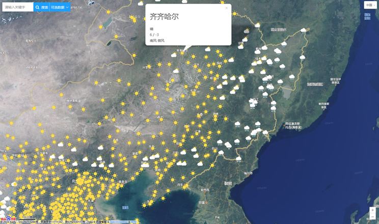
China Weather Forecast
Introduction to Countries

China Subway Lines

China's 5A Scenic Spots

Provincial Capitals in China
