Nord-Pas de Calais (French pronunciation: [nɔʁ pa d(ə) ka.lɛ] ; Dutch: Noord-Nauw van Calais), Nord for short, is one of the 27 regions of France. It consists of the departments of Nord and Pas-de-Calais, in the north and has a border with Belgium. Most of the region was once part of the Southern Netherlands, within the Low Countries, and gradually became part of France between 1477 and 1678. The historical provinces now included in Nord-Pas-de-Calais are Artois, Boulonnais, Calaisis, Cambraisis, French Flanders, French Hainaut and portions of northern Picardy, and the regional nickname Bassin Minier or Meiners-Bassen (Miners' or Mining Basin in the region's two languages) derived from historically large mining deposits. These provincial designations are still frequently used by the inhabitants, which offers a sense of civic pride.
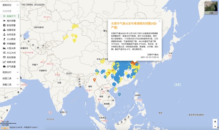
Extreme weather in China
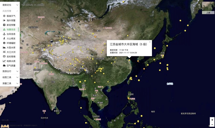
China Earthquake Information
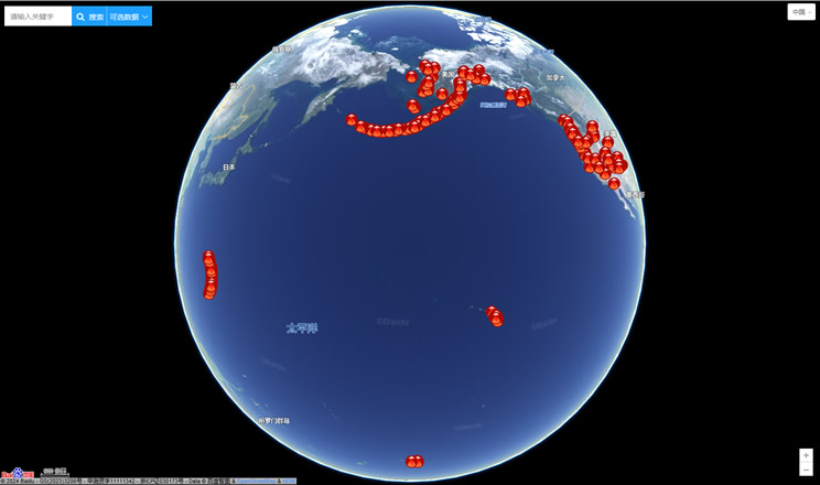
Volcano eruption
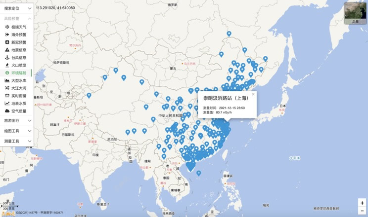
Environmental Radiation in China
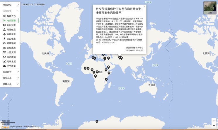
Overseas Warning
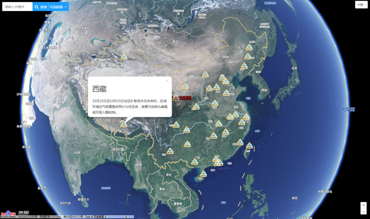
China's air quality
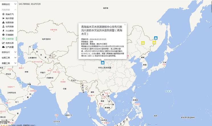
China's Water Disaster Alert
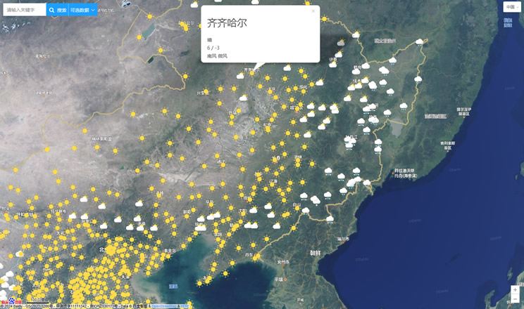
China Weather Forecast
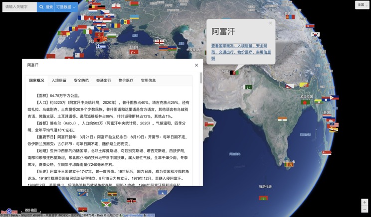
Introduction to Countries
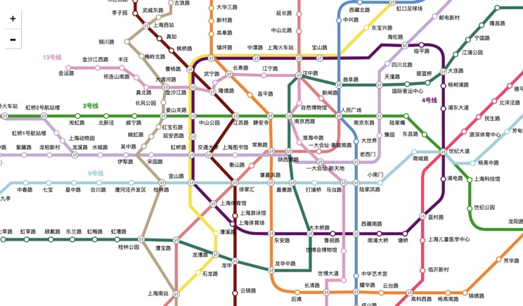
China Subway Lines
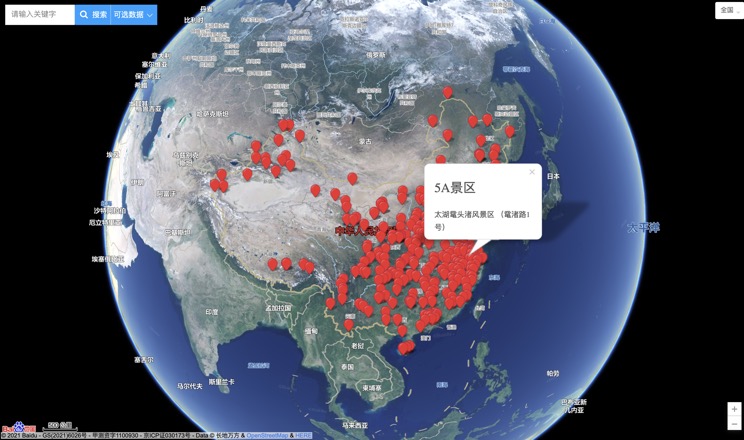
China's 5A Scenic Spots
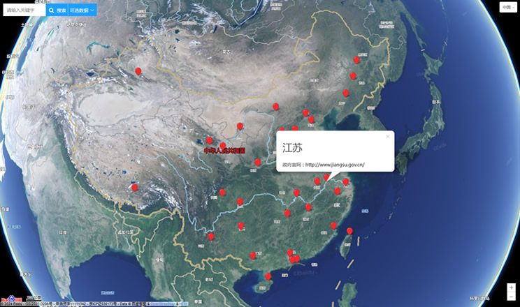
Provincial Capitals in China
