Niger (French pronunciation: [niʒɛʁ], but occasionally pronounced as /niːˈʒɛər/ or i/ˈnaɪdʒər/), officially the Republic of Niger, is a landlocked country in Western Africa, named after the Niger River. It borders Nigeria and Benin to the south, Burkina Faso and Mali to the west, Algeria and Libya to the north and Chad to the east. Niger covers a land area of almost 1,270,000 km2, making it the largest nation in West Africa, with over 80 percent of its land area covered by the Sahara desert. The country's predominantly Islamic population of just above 15,000,000 is mostly clustered in the far south and west of the nation. The capital city is Niamey, located in the far southwest corner of Niger.
Extreme weather in China
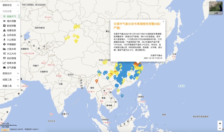
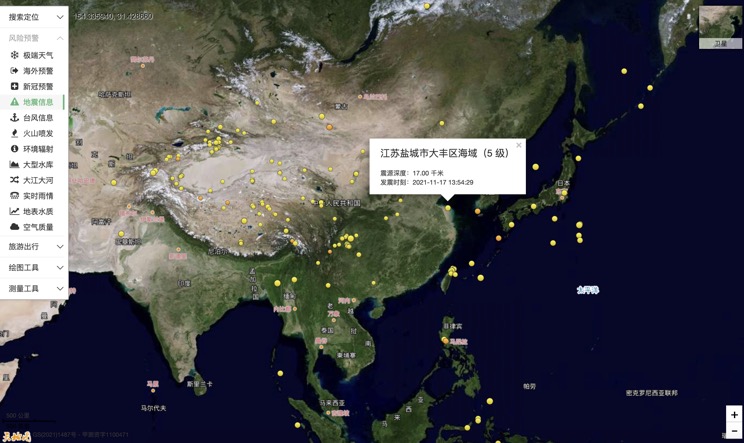
China Earthquake Information
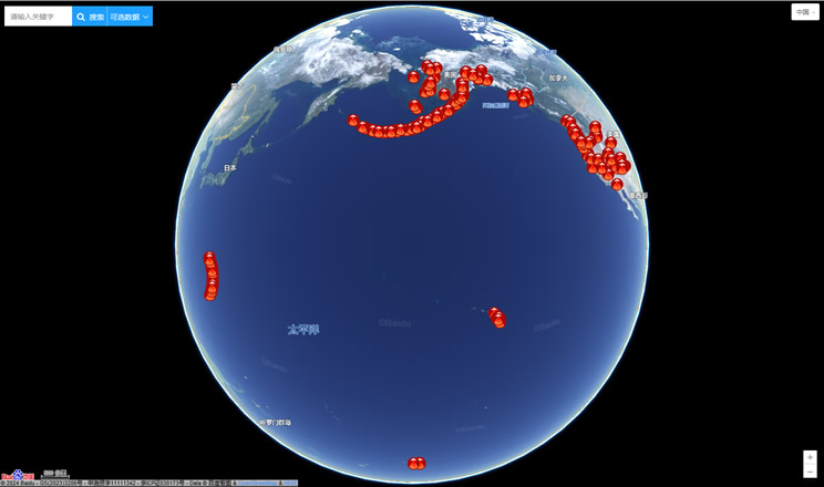
Volcano eruption
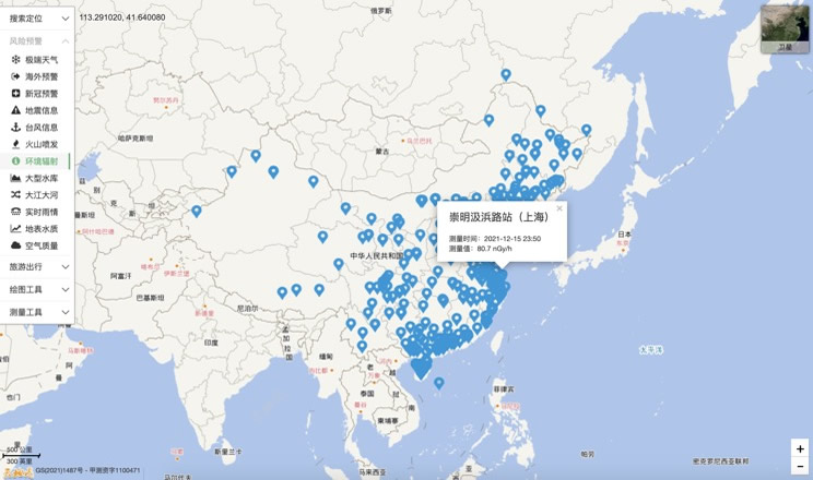
Environmental Radiation in China
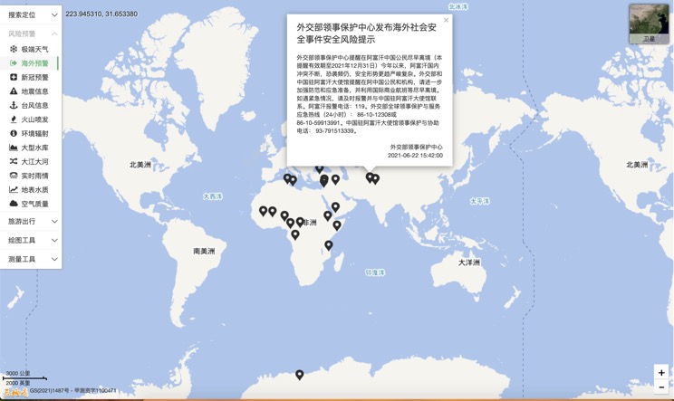
Overseas Warning
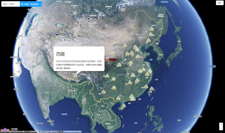
China's air quality
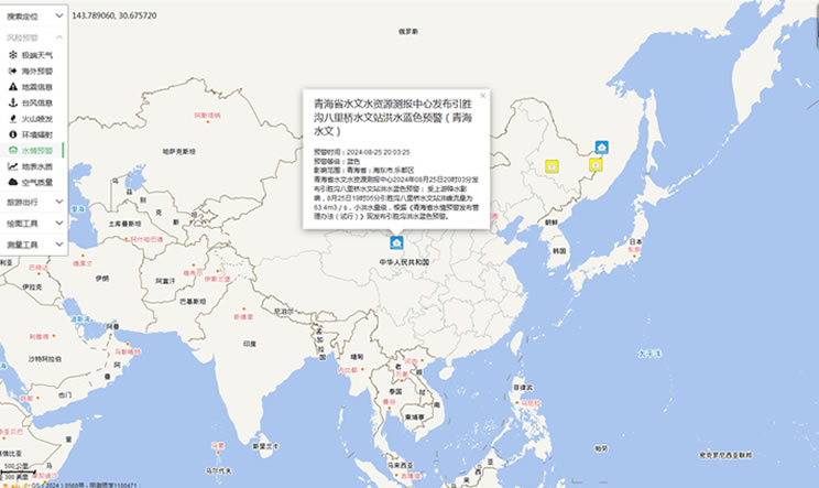
China's Water Disaster Alert
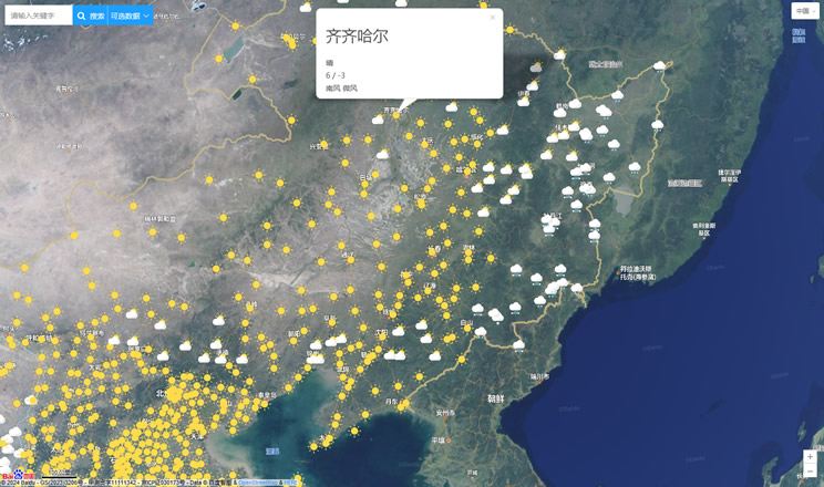
China Weather Forecast
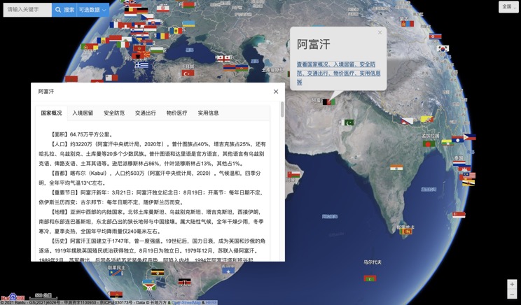
Introduction to Countries
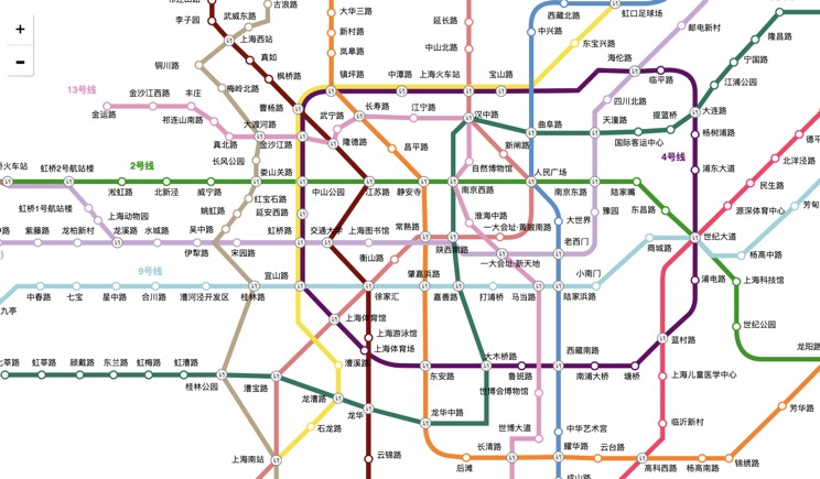
China Subway Lines
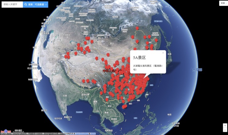
China's 5A Scenic Spots
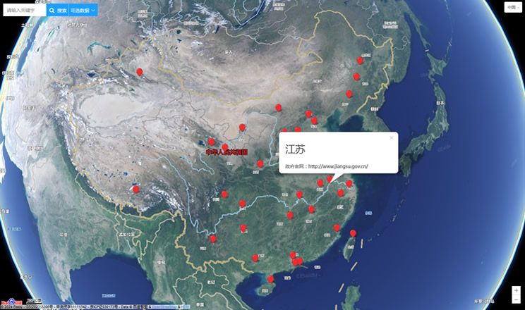
Provincial Capitals in China
