Maldives , (Dhivehi: ދިވެހިރާއްޖެ, Dhivehi Raa'je), officially Republic of Maldives (Dhivehi: ދިވެހިރާއްޖޭގެ ޖުމްހޫރިއްޔާ, Dhivehi Raa'jeyge Jumhooriyya), also referred to as the Maldive Islands, is an island nation in the Indian Ocean formed by a double chain of twenty-six atolls oriented north-south off India's Lakshadweep Islands, between Minicoy Island and Chagos Archipelago. It stands in the Laccadive Sea, about 700 kilometres (430 mi) south-west of Sri Lanka and 400 kilometres (250 mi) south-west of India. During the colonial era, the Dutch referred to the country as "Maldivische Eilanden" in their documentation, while "Maldive Islands" is the anglicised version of the local name used by the British, which later came to be written "Maldives".
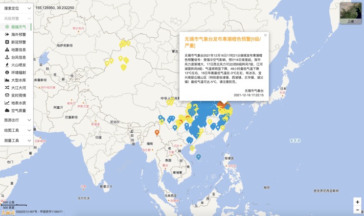
Extreme weather in China
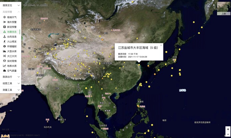
China Earthquake Information
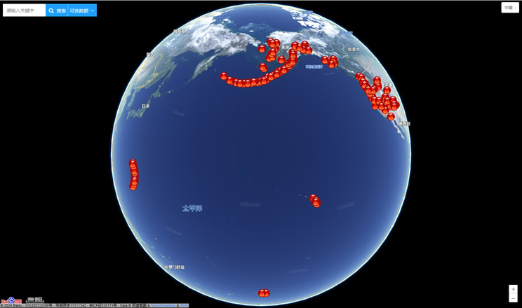
Volcano eruption
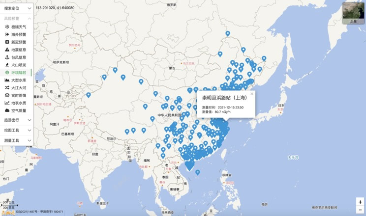
Environmental Radiation in China
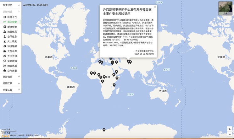
Overseas Warning
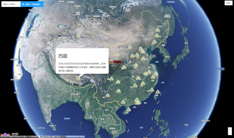
China's air quality
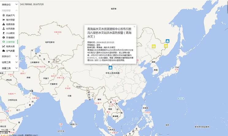
China's Water Disaster Alert
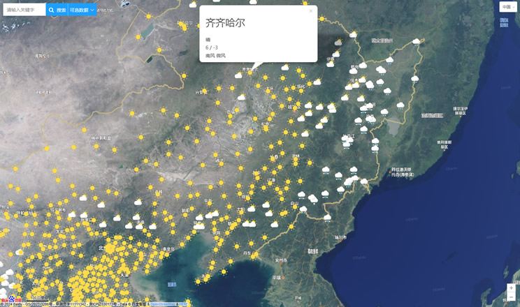
China Weather Forecast
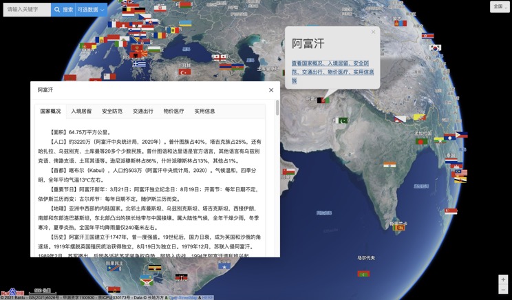
Introduction to Countries
China Subway Lines

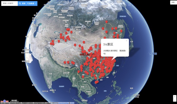
China's 5A Scenic Spots
Provincial Capitals in China
