Malawi ( Chichewa [malaβi][need tone]), officially the Republic of Malawi, is a landlocked country in southeast Africa that was formerly known as Nyasaland. It is bordered by Zambia to the northwest, Tanzania to the northeast, and Mozambique on the east, south and west. The country is separated from Tanzania and Mozambique by Lake Malawi. Malawi is over 118,000 km2 (45,560 sq mi) with an estimated population of more than 13,900,000. Its capital is Lilongwe, which is also Malawi's largest city; the second largest is Blantyre and the third is Mzuzu. The name Malawi comes from the Maravi, an old name of the Nyanja people that inhabit the area. The country is also nicknamed "The Warm Heart of Africa".
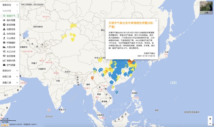
Extreme weather in China
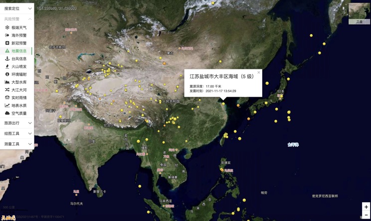
China Earthquake Information
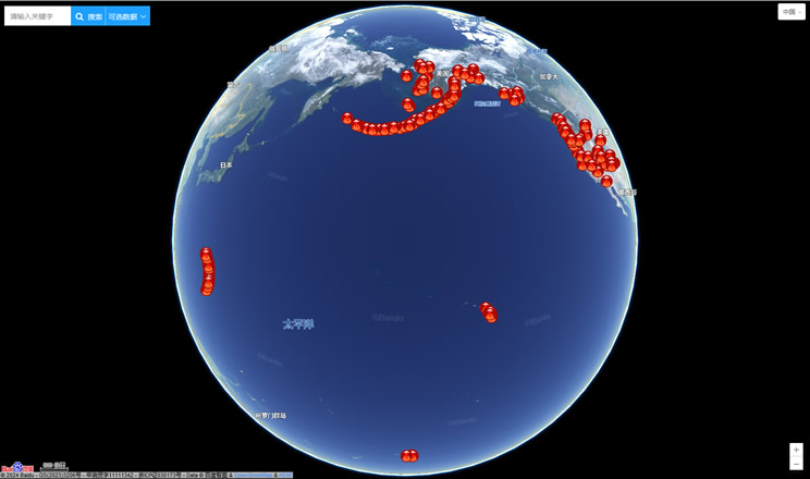
Volcano eruption
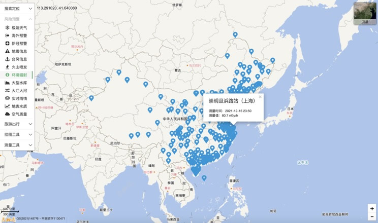
Environmental Radiation in China
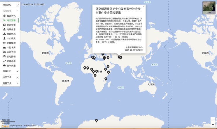
Overseas Warning
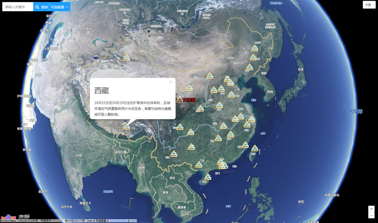
China's air quality
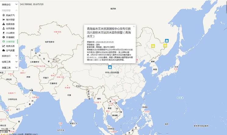
China's Water Disaster Alert
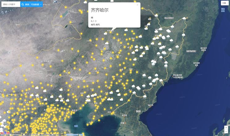
China Weather Forecast
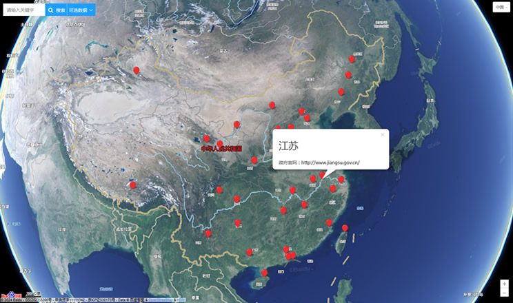
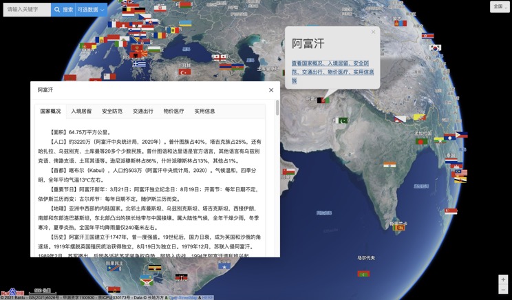
Introduction to Countries
China Subway Lines

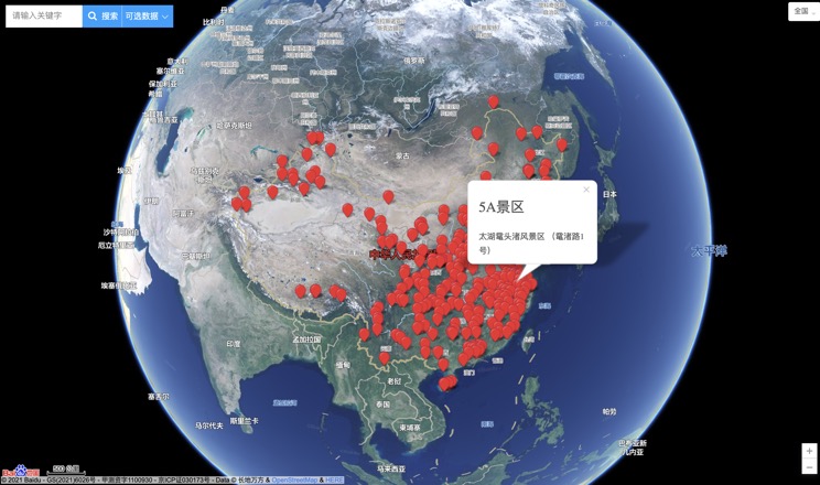
China's 5A Scenic Spots
Provincial Capitals in China
