Jurong is the largest town in the western part of Singapore, consisting of 7 residential precincts(Nanyang, Hong Kah, Yuhua, Taman Jurong, Boon Lay, Gek Poh, Pioneer), 14 industrial districts(Jurong Port, Jurong Pier, Jurong Hill, Lok Yang, Joo Koon, Gul, Benoi, Pioneer Sector, Toh Tuck, International Business Park, Kian Teck, Chin Bee, Penjuru, Jurong Island), 1 military zone(Pasir Laba) and 1 Waterfront district(Jurong Lake). It resembles Woodlands, the largest town in the northern part of Singapore, which is smaller in size, has smaller industrial area and yet more densely populated with residents than Jurong. The soil condition in Jurong is known as the 'Jurong Formation'.
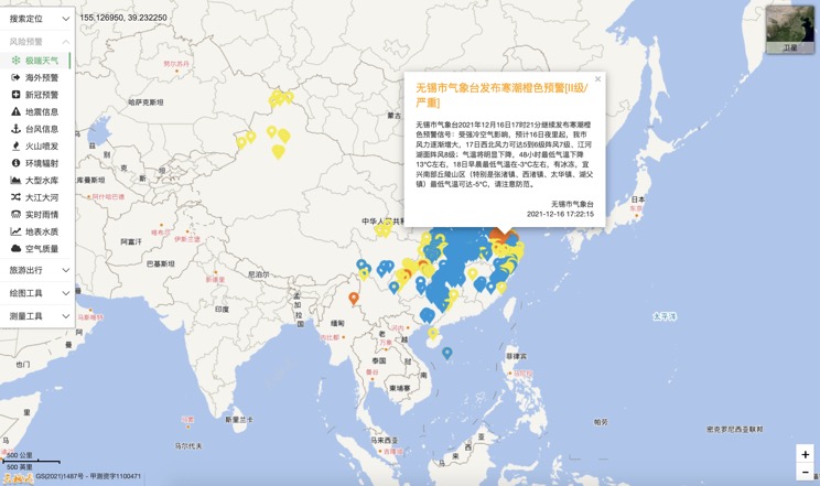
Extreme weather in China
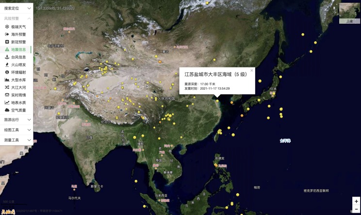
China Earthquake Information
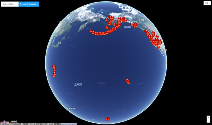
Volcano eruption
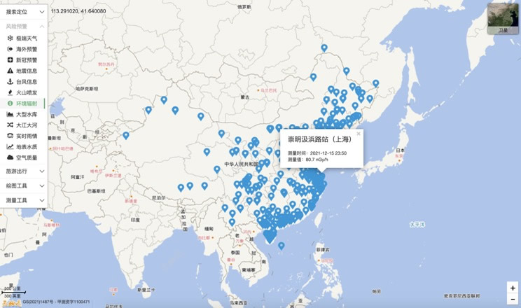
Environmental Radiation in China
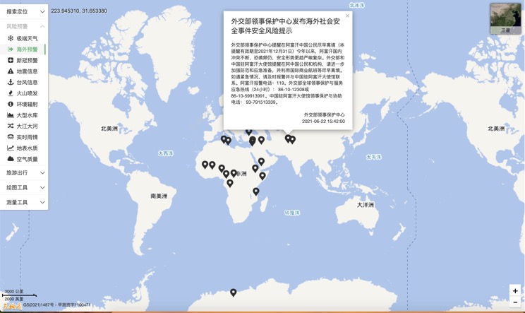
Overseas Warning
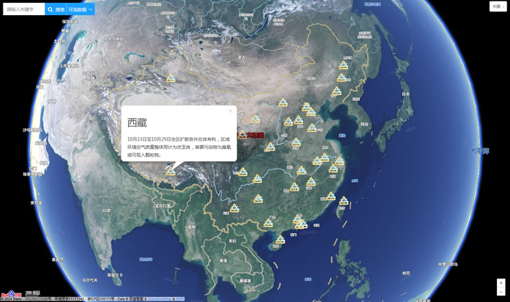
China's air quality
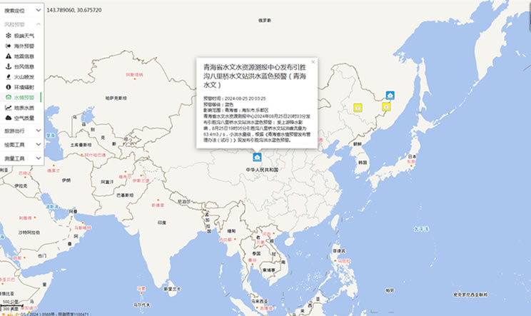
China's Water Disaster Alert
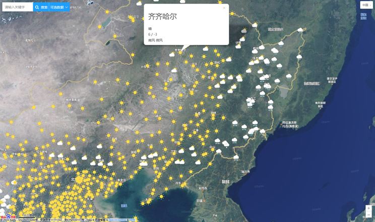
China Weather Forecast
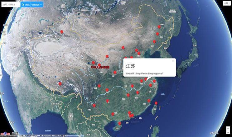
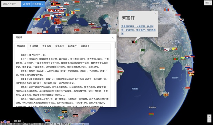
Introduction to Countries
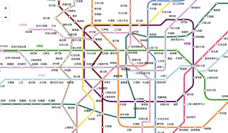
China Subway Lines
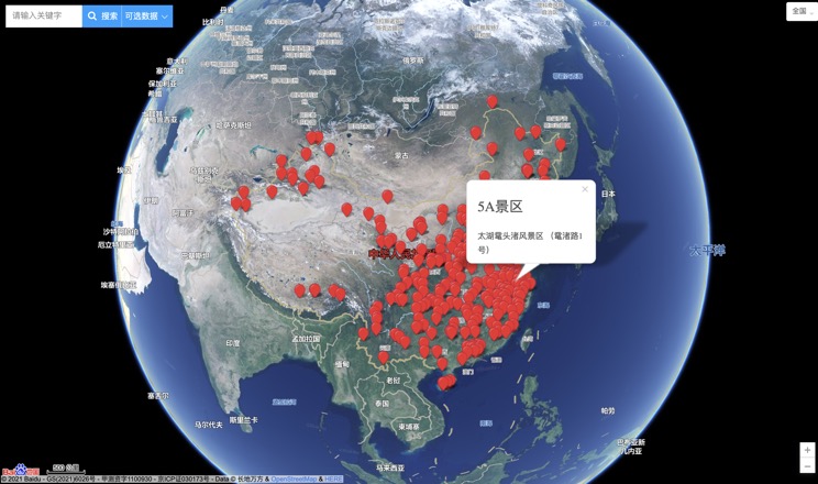
China's 5A Scenic Spots
Provincial Capitals in China
