Jammu , also known informally as Duggardesh, is one of the three administrative divisions within Jammu and Kashmir, the northernmost state in India. The region is not a state per se but a part of the state of Jammu & Kashmir. It consists of the districts of Doda, Kathua, Jammu, Udhampur, Rajouri, Ramban, Reasi, Samba, Kishtwar & Poonch. Most of the land is hilly or mountainous, including the Pir Panjal range which separates it from the Kashmir Valley and part of the Great Himalayas in the eastern districts of Doda and Kishtwar. The principal river is the Chenab.
Extreme weather in China
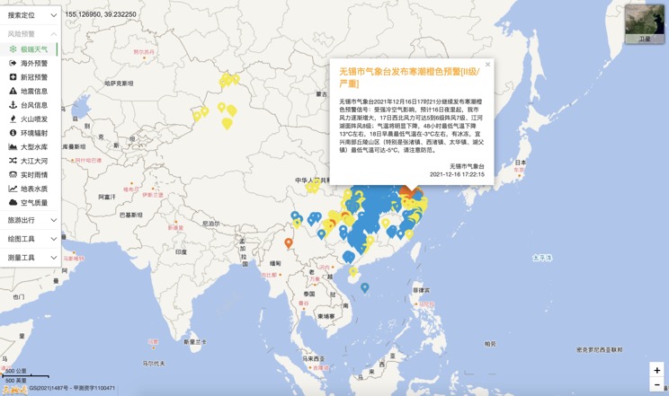
China Earthquake Information
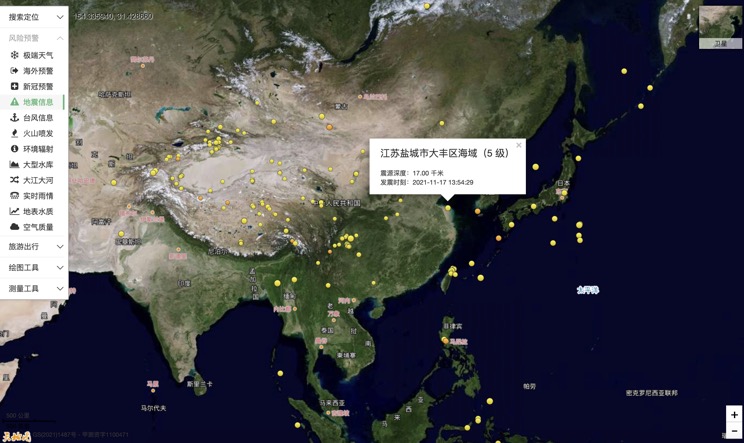
Volcano eruption
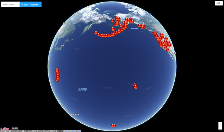
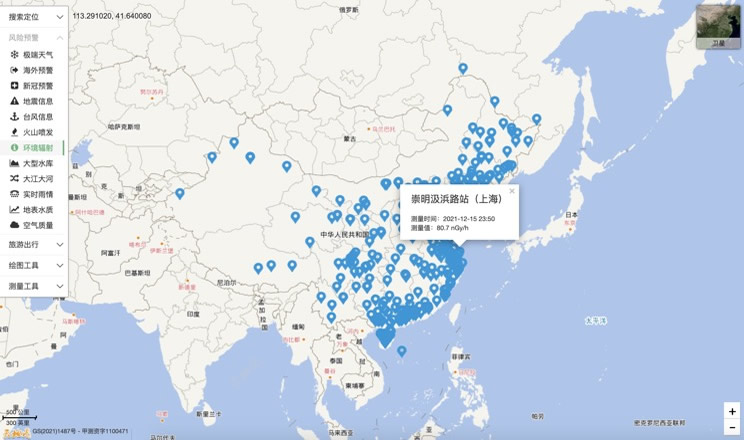
Environmental Radiation in China
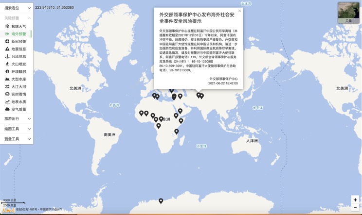
Overseas Warning
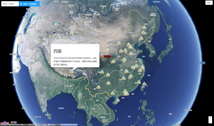
China's air quality
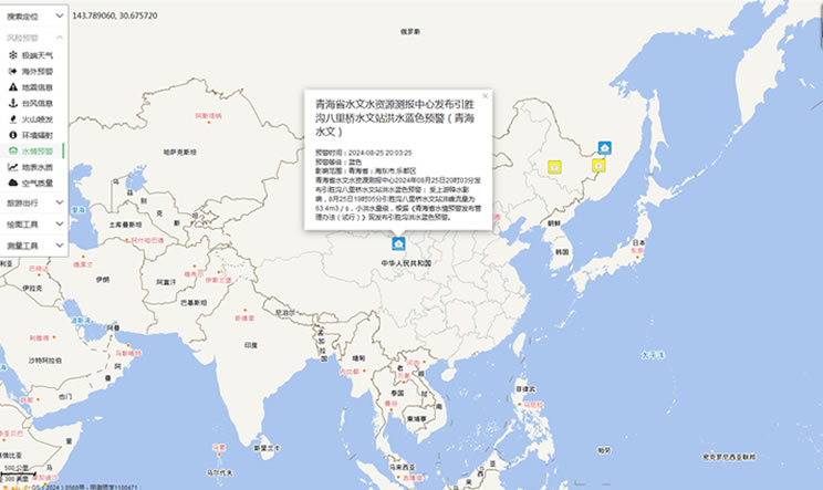
China's Water Disaster Alert
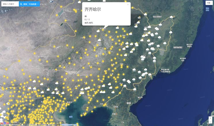
China Weather Forecast
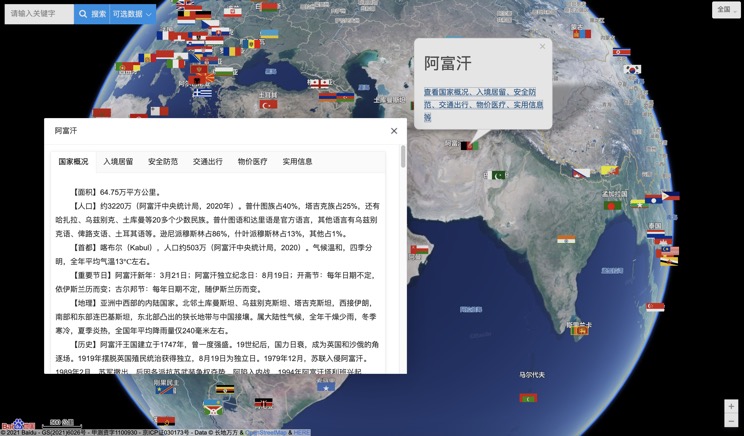
Introduction to Countries
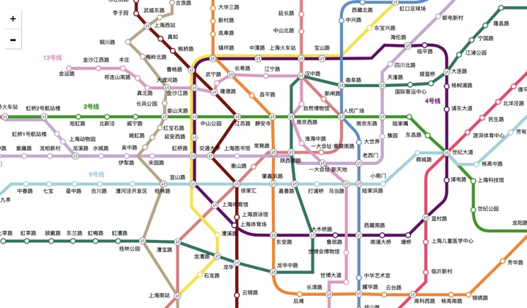
China Subway Lines
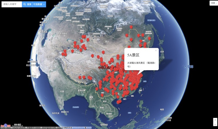
China's 5A Scenic Spots
Provincial Capitals in China
