Iğdır (pronounced [ˈɯɰdɯɾ]; Armenian: Իգդիր, Igdir, also Ցոլակերտ, Tsolakert, after the ancient city nearby; Azerbaijani: İğdır, Idir; Kurdish: Îdir, Idir) is the capital of Iğdır Province in the Eastern Anatolia Region, Turkey, and borders Armenia, Azerbaijan (Nakhchivan) and Iran. The border with Armenia is formed by the Aras River. Turkey's highest mountain, Ağrı Dağı, (the Biblical Mount Ararat) is in Iğdır province, but much of the land is a wide plain far below the mountain.
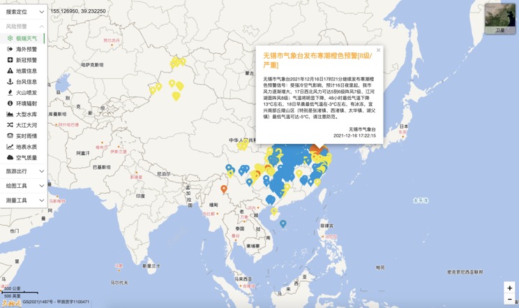
Extreme weather in China
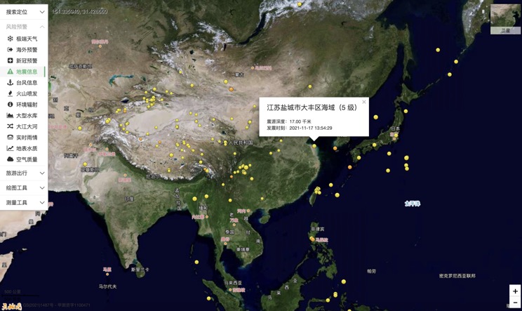
China Earthquake Information
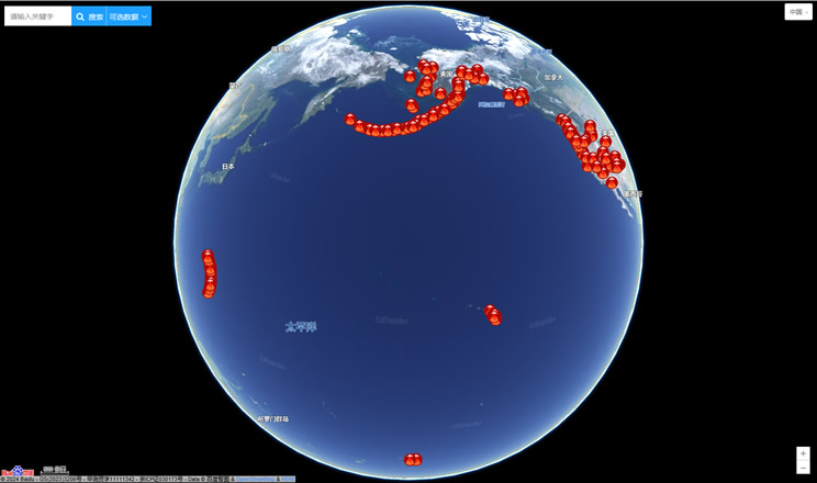
Volcano eruption
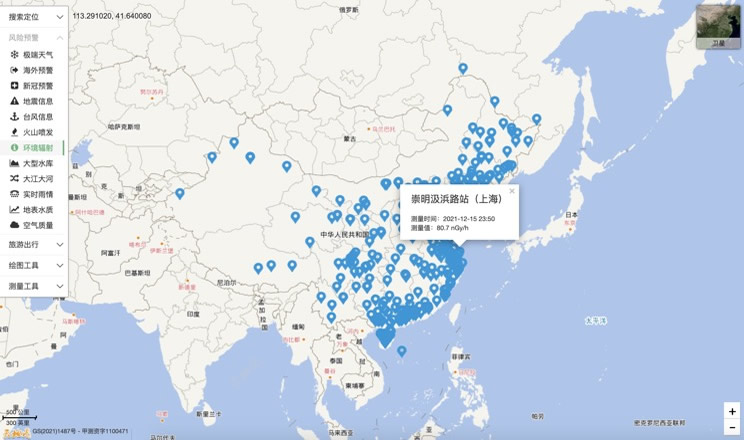
Environmental Radiation in China
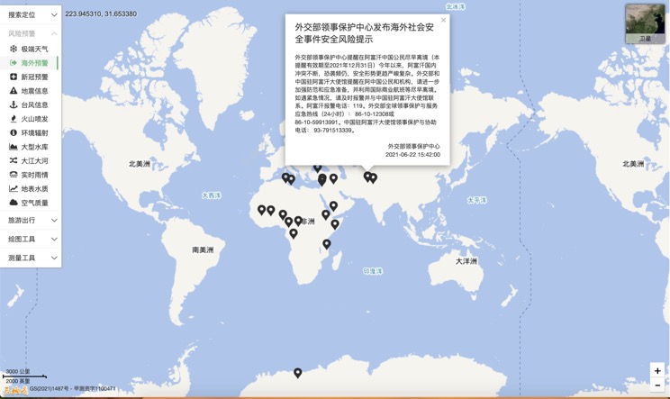
Overseas Warning
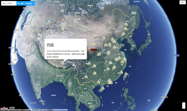
China's air quality
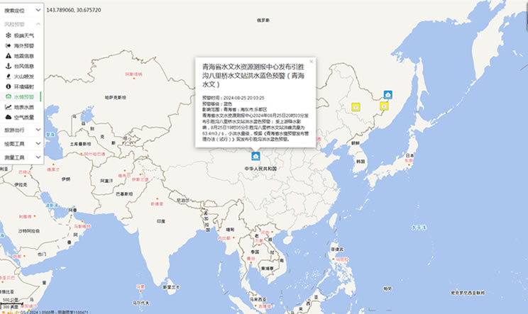
China's Water Disaster Alert
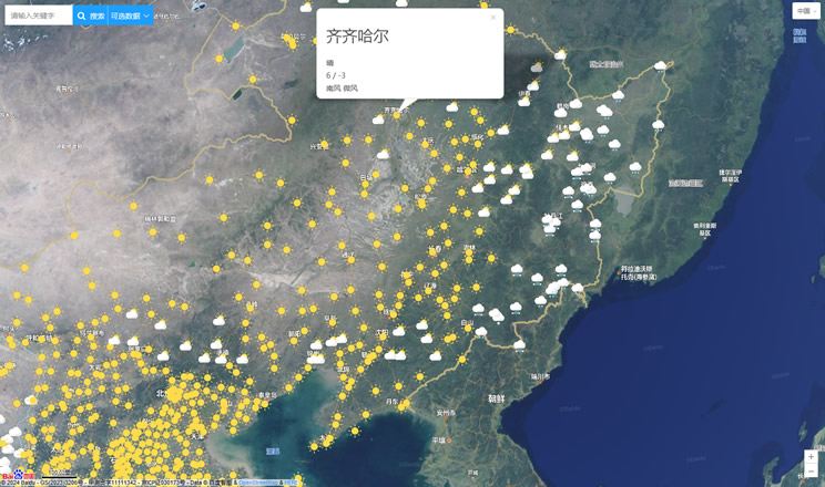
China Weather Forecast
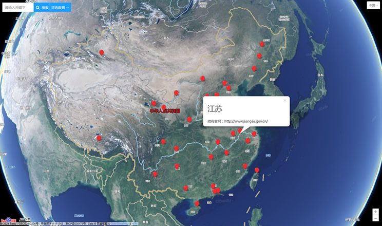
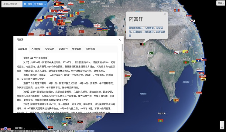
Introduction to Countries
China Subway Lines

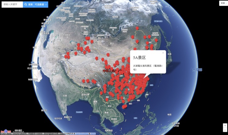
China's 5A Scenic Spots
Provincial Capitals in China
