Isiolo is a town in the Eastern Province, Kenya. It is situated in the Upper Eastern sub-region, and lies 285 kilometres north of Nairobi, the capital city of Kenya. The town grew around the local military camps, much of the population being descended from former Somali soldiers who had fought in World War I as well as other Cushitic-speaking pastoral communities and the Ameru community. The predominant population of Isiolo are the Oromo-speaking Boran and Sakuye and the Bantu Ameru.In recent years there has been a steady migration from the neighbouring communities such Mandera, Wajir and samburu, The most populous Division is merti in the northern flank of the district.Isiolo town is the Headquarters of the district and the gateway to the northern half of the country. The town has an estimated population of 80,000 people, most of them living in the rural outbacks of the District. There is an increasing urban population in the recent years, especially from as far as Moyale, Marsabit and mandera. The Isiolo town is also becoming a centre of interest because of the of its newly acquired status as a resort city cashing in on the popular Samburu and Shaba Game reserves and the Meru National Park, which have become preferred destinations after the famed Maasai Mara. Isiolo lies along the long A2 Road, leading towards Marsabit and Moyale much farther north. The town is served by Isiolo Airport, which is set to be upgraded to serve tourism and local exports.
Extreme weather in China
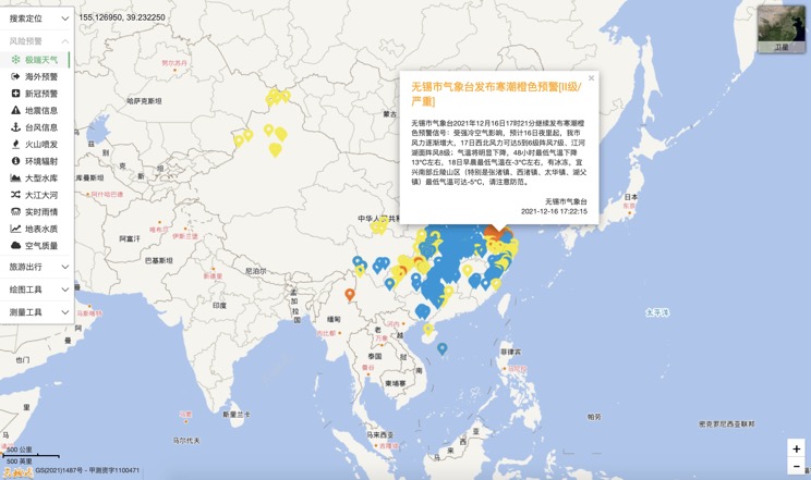
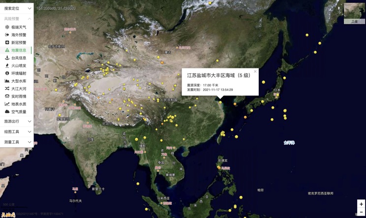
China Earthquake Information
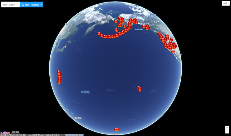
Volcano eruption
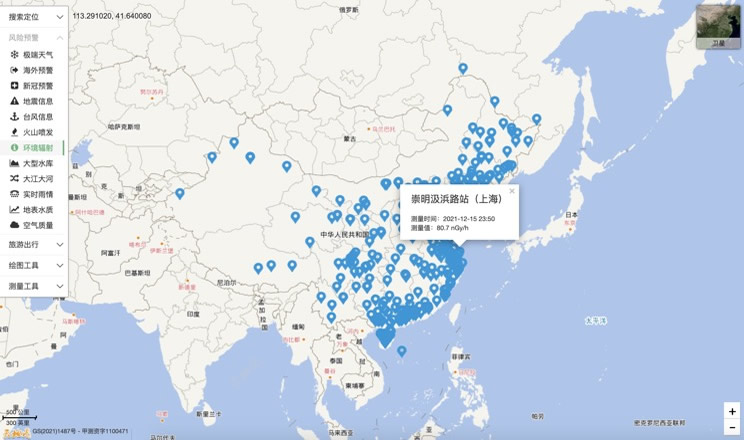
Environmental Radiation in China
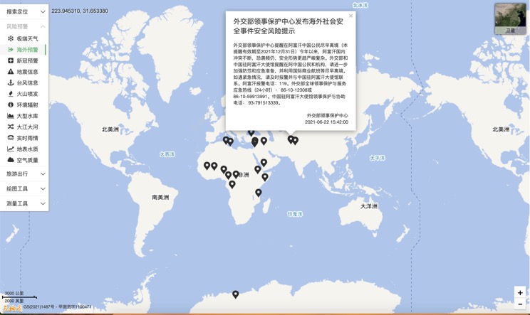
Overseas Warning
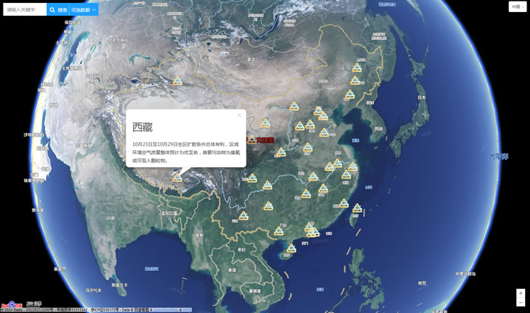
China's air quality
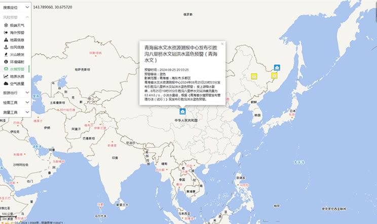
China's Water Disaster Alert
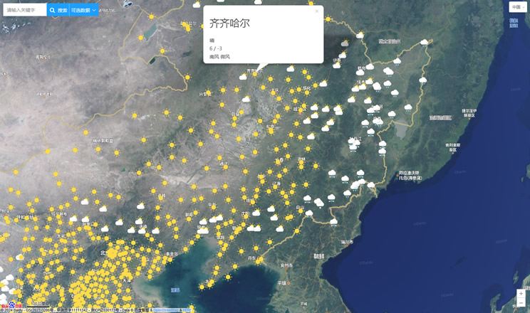
China Weather Forecast
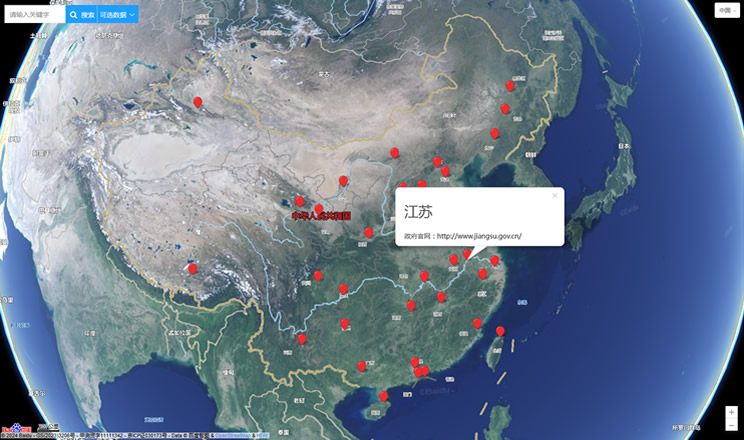
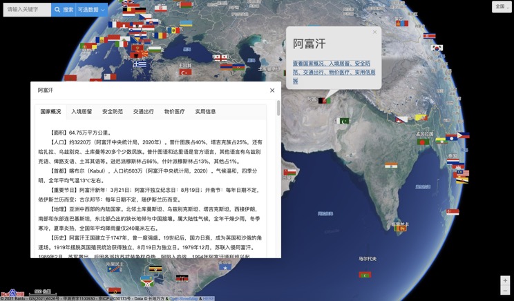
Introduction to Countries
China Subway Lines

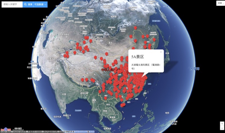
China's 5A Scenic Spots
Provincial Capitals in China
