Innsbruck is the capital city of the federal state of Tyrol in western Austria. It is located in the Inn Valley at the junction with the Wipptal (Sill River), which provides access to the Brenner Pass, some 30 km (18.6 mi) south of Innsbruck. Located in the broad valley between high mountains, the Nordkette (Hafelekar, 2,334 metres or 7,657 feet in the north, Patscherkofel (2,246 m or 7,369 ft) and Serles (2,718 m or 8,917 ft) in the south. It is an internationally renowned winter sports centre, and hosted the 1964 and 1976 Winter Olympics as well as the 1984 and 1988 Winter Paralympics. Innsbruck hosted the first Winter Youth Olympics in 2012. The word bruck comes from the German word Brücke meaning "bridge" which leads to "the bridge over the Inn".
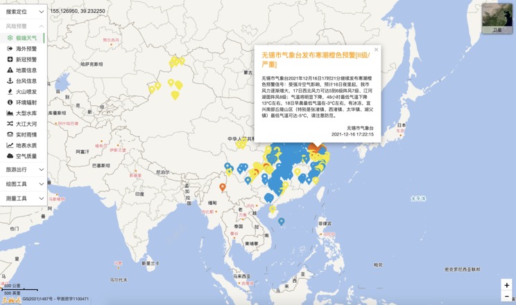
Extreme weather in China
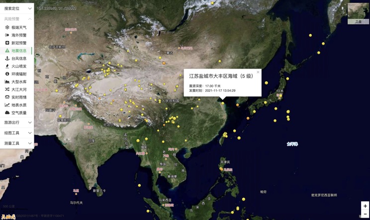
China Earthquake Information
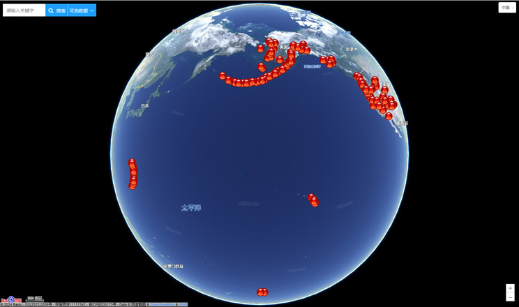
Volcano eruption
Environmental Radiation in China
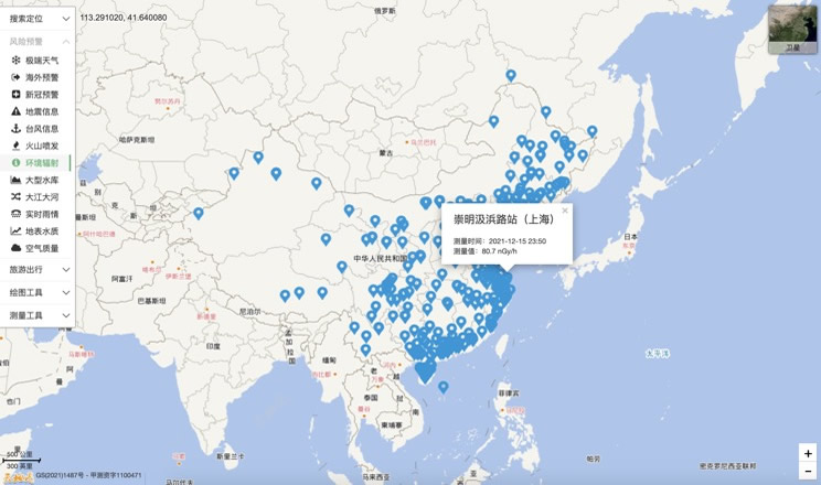
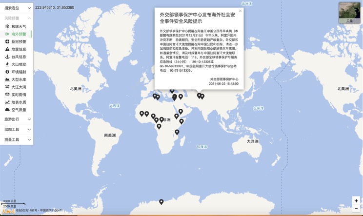
Overseas Warning
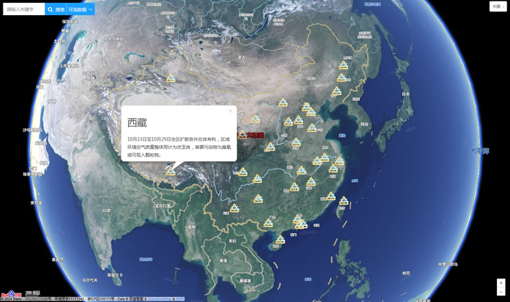
China's air quality
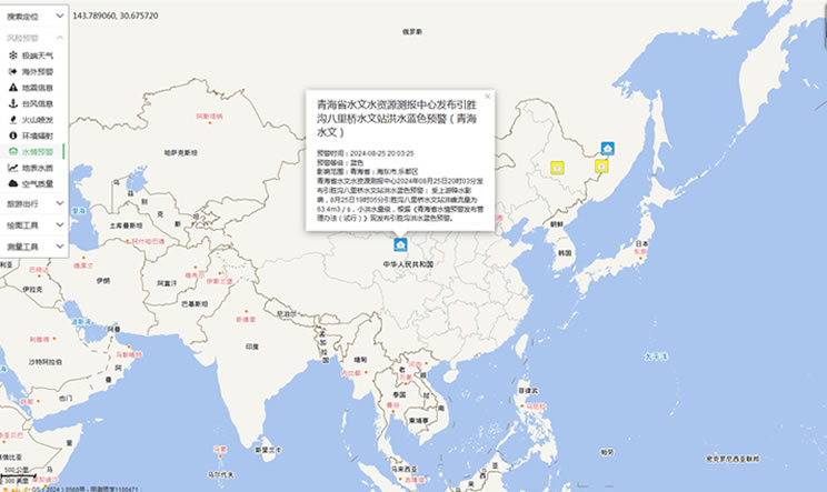
China's Water Disaster Alert
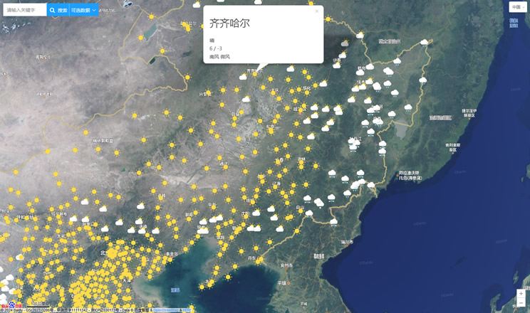
China Weather Forecast
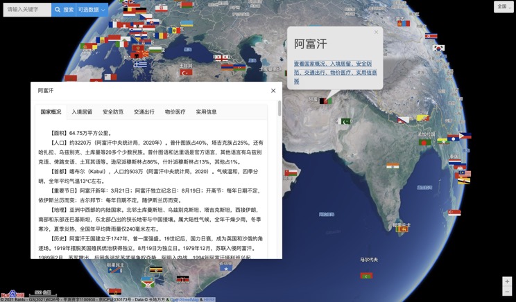
Introduction to Countries
China Subway Lines

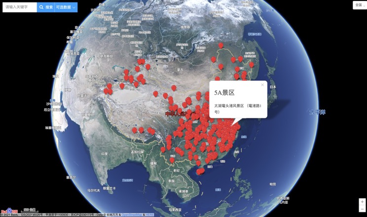
China's 5A Scenic Spots
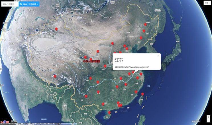
Provincial Capitals in China
