Gweedore is the commonly used anglicisation of Gaoth Dobhair, the official name of an Irish-speaking parish located on the Atlantic coast of County Donegal, Ireland. Gweedore (the anglicised placenames are used in this article: see below for official names) stretches some 16 miles from Meenaclady in the north to Crolly in the south and around 9 miles from Dunlewey in the east to Magheraclogher in the west, and is Europe's most densely populated rural area. It is the largest Irish-speaking parish in Ireland with a population of around 4,065, and is also the home of the northwest regional studios of the Irish-language radio service RTÉ Raidió na Gaeltachta, as well as an external campus of National University of Ireland, Galway. Gweedore consists of villages Bunbeg, Derrybeg, Dunlewey, Crolly and Brinalack, and it sits in the shade of Donegal's highest peak Mount Errigal.
Extreme weather in China
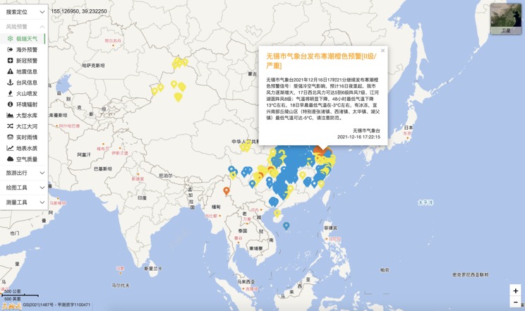
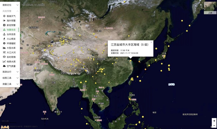
China Earthquake Information
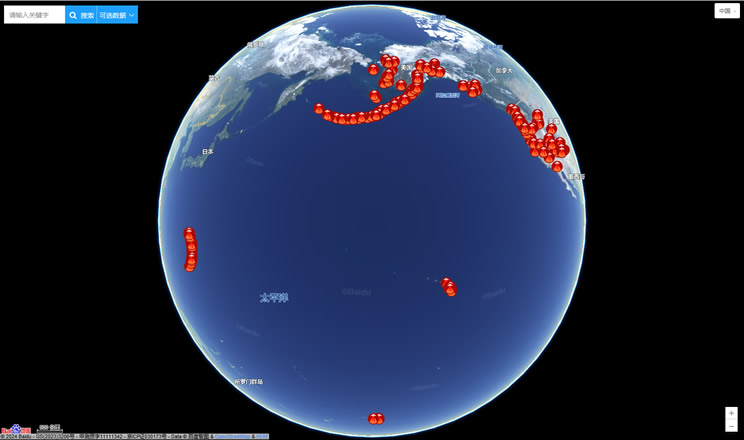
Volcano eruption
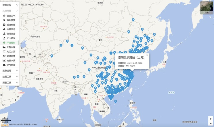
Environmental Radiation in China
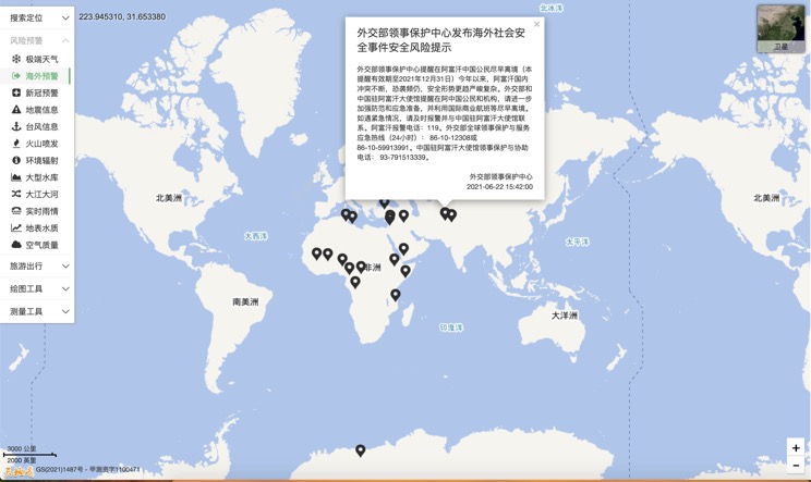
Overseas Warning
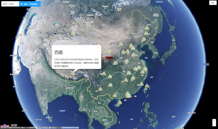
China's air quality
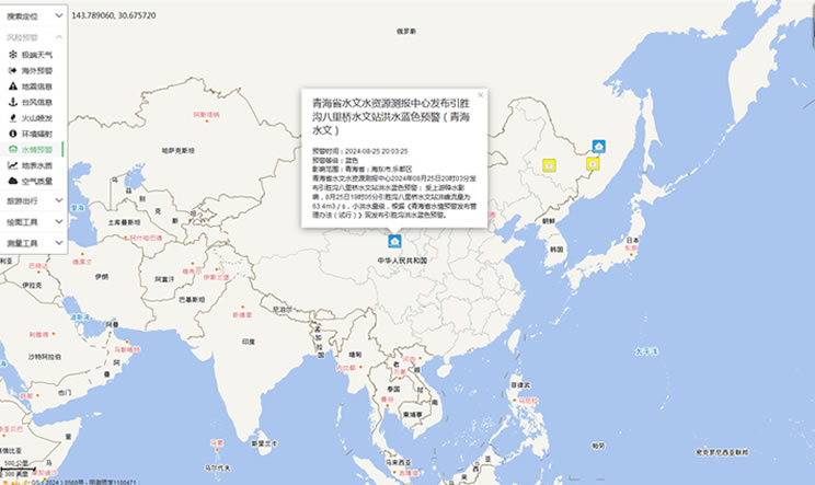
China's Water Disaster Alert
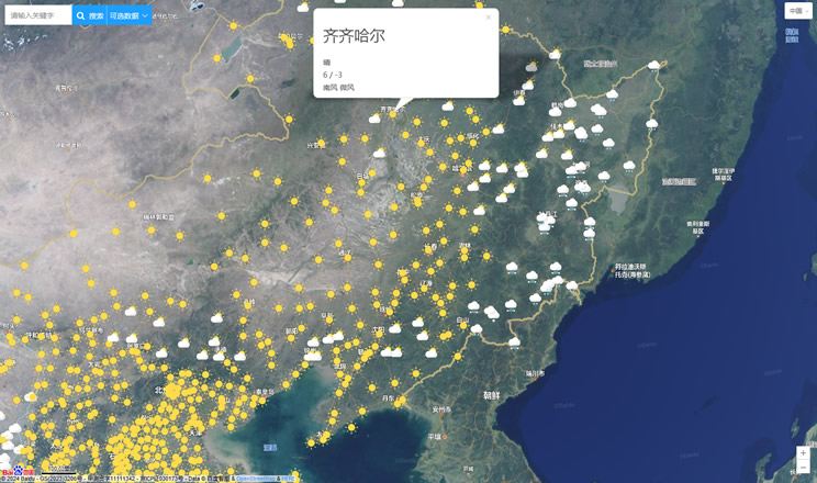
China Weather Forecast
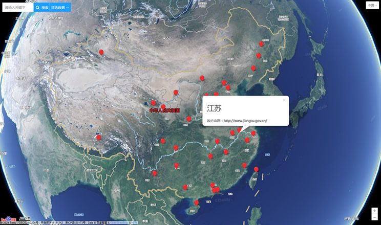
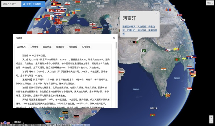
Introduction to Countries
China Subway Lines

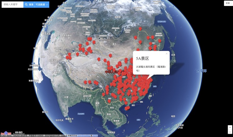
China's 5A Scenic Spots
Provincial Capitals in China
