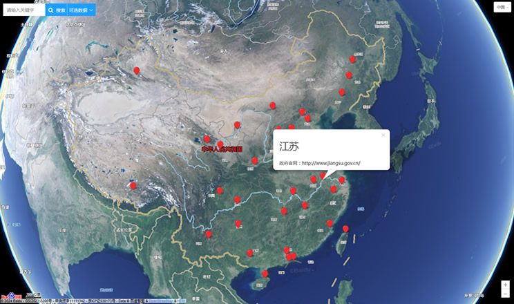
Guangxi (GZAR), formerly romanized Kwangsi, is a province of southern China along its border with Vietnam. In 1958, it became the Guangxi Zhuang Autonomous Region of the People's Republic of China, a region with special privileges created specifically for the Zhuang people.
Guangxi's location, in mountainous terrain in the far south of China, has placed it on the frontier of Chinese civilization throughout much of China's history. The current name "Guang" means "expanse" and has been associated with the region since the creation of Guang Prefecture in AD 226. It was given provincial level status during the Yuan Dynasty, but even into the 20th century it was considered an open, wild territory.
The abbreviation of the province is "桂" (Pinyin: Gui; Zhuang: Gvei), which comes from the city of Guilin, the former capital, center of much of Guangxi's culture, politics, and history, and currently a major city in the autonomous region.
Extreme weather in China
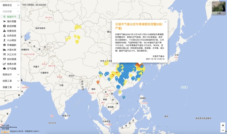
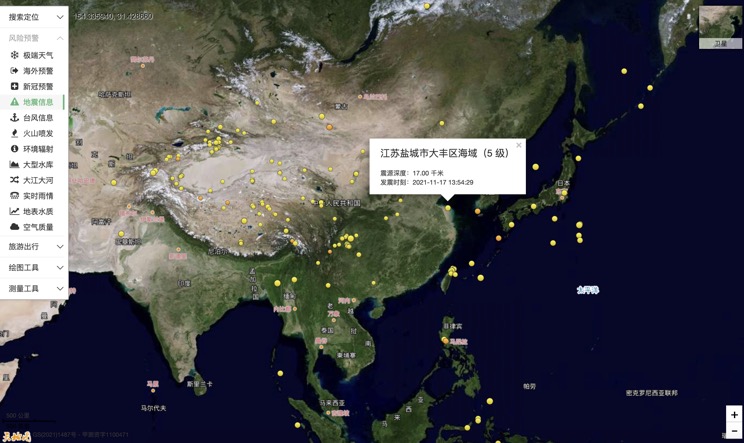
China Earthquake Information
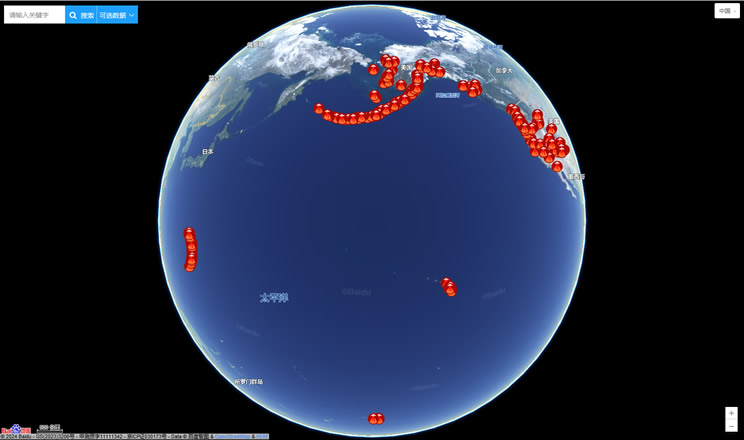
Volcano eruption
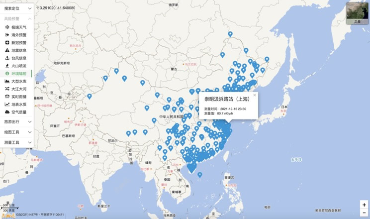
Environmental Radiation in China
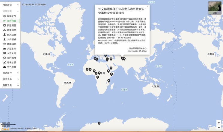
Overseas Warning
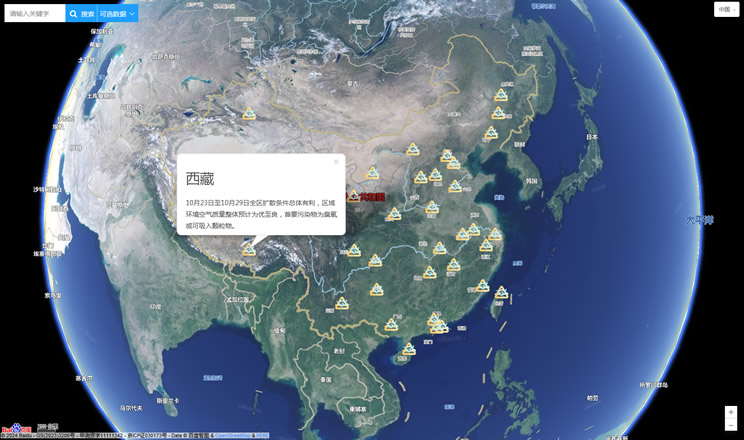
China's air quality
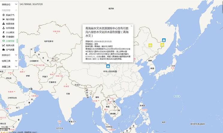
China's Water Disaster Alert
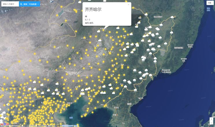
China Weather Forecast
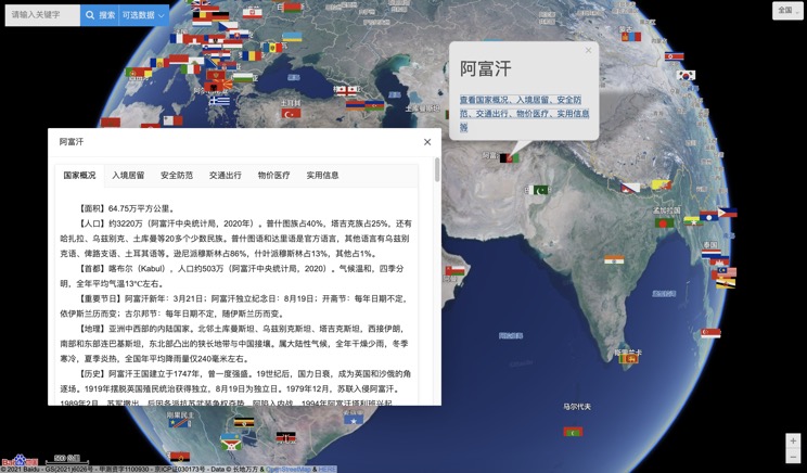
Introduction to Countries
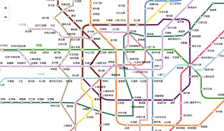
China Subway Lines
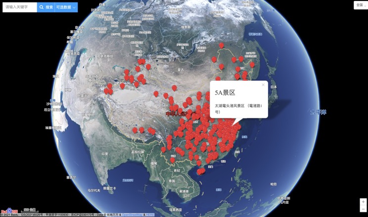
China's 5A Scenic Spots
Provincial Capitals in China
