Geylang is a neighbourhood in the city-state of Singapore east of the Central Area, Singapore's central business district. It is located to the east of the Singapore River, an area that locals have associated, from the days of Sir Stamford Raffles, as a Malay kampong opposite facing two islands Batin and Rokok (where the former National Stadium used to stand), reclaimed to make space for Singapore's first commercial airport opened in 1937. The airport control tower has been preserved that served, in its day, as an observation deck and is today used by the People's Association. The location of Old Airport Road bears witness to the fact that Geylang, under the British administration, was thought to be outside the limits of the city proper and, therefore, suitable for the siting of Singapore's first commercial airport. The hangars for repair for the light aircraft can still be seen today that have been slated by the Urban Redevelopment Authority (URA) for redevelopment into commercial and shopping precincts linked by the nearby Kallang MRT station.
Extreme weather in China
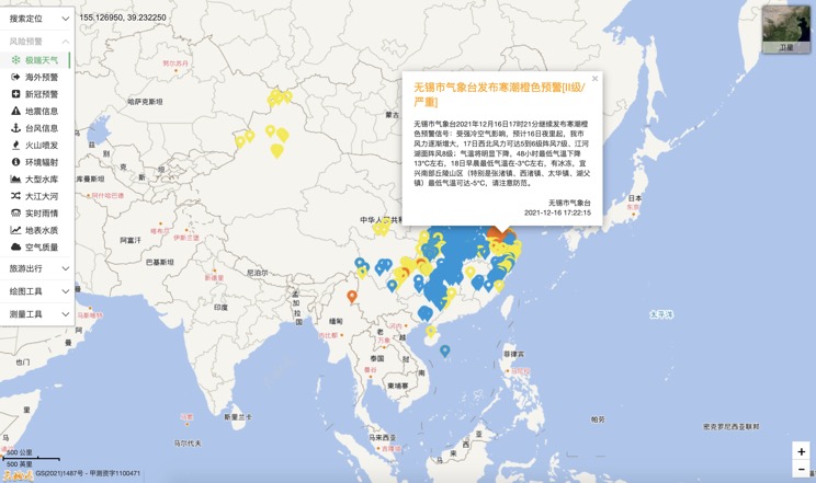
China Earthquake Information
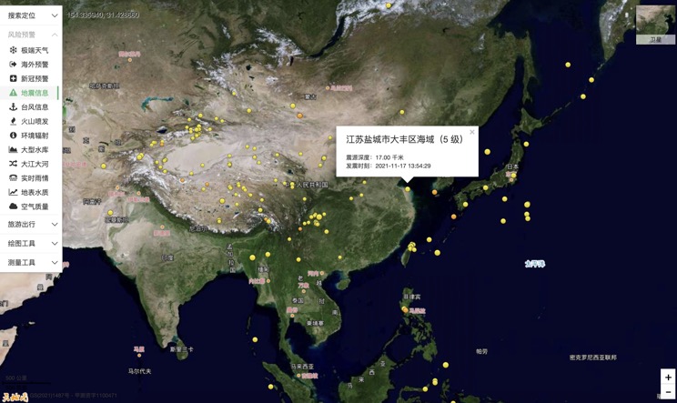
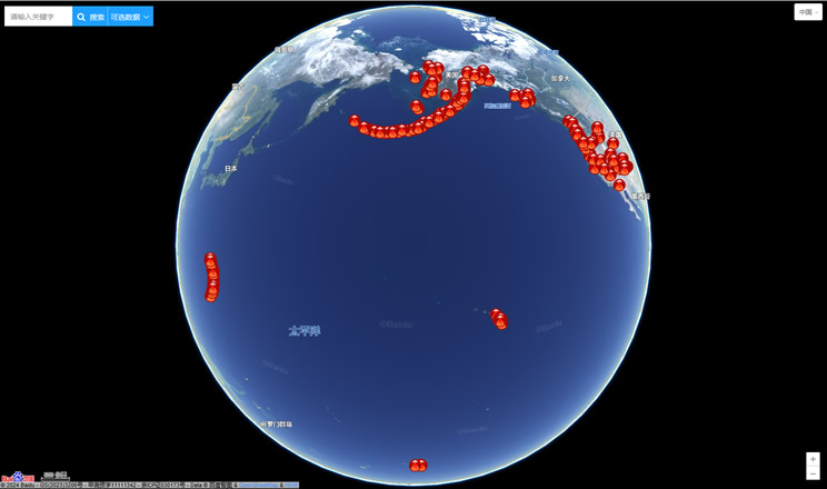
Volcano eruption
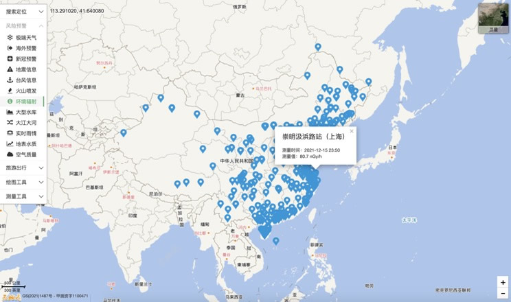
Environmental Radiation in China
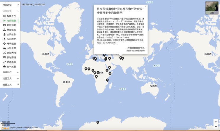
Overseas Warning
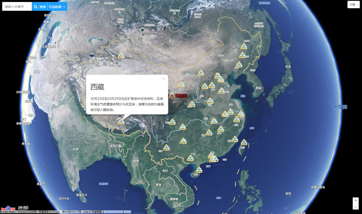
China's air quality
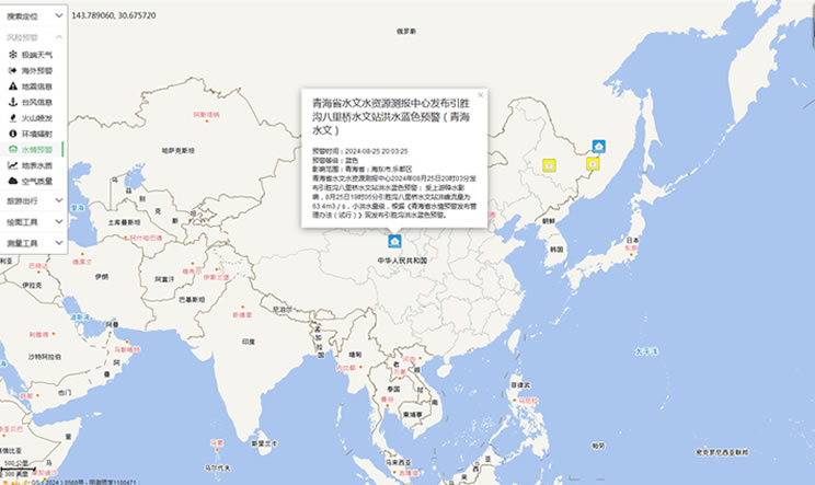
China's Water Disaster Alert
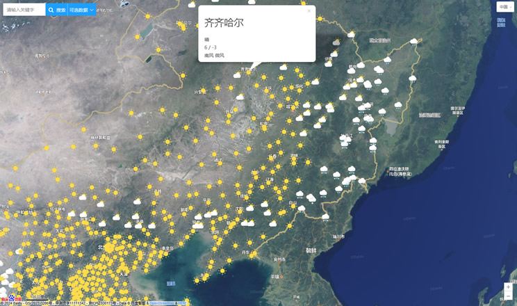
China Weather Forecast
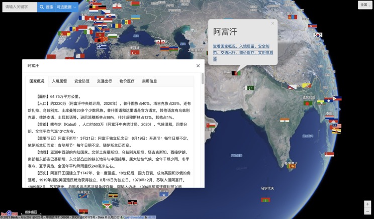
Introduction to Countries
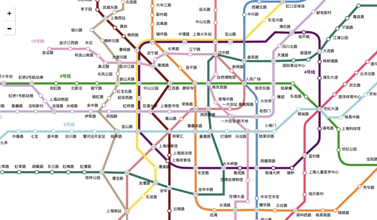
China Subway Lines
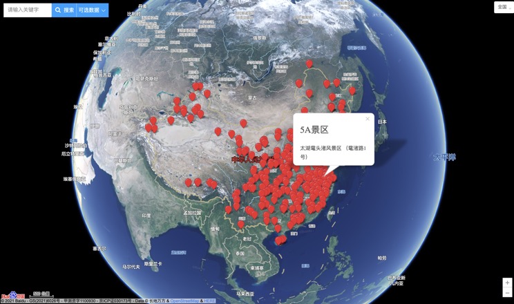
China's 5A Scenic Spots
Provincial Capitals in China
