Alsace (French: Alsace [al.zas]; Alsatian: Elsàss [ˈɛlsɑs]; (German: Elsass ), pre-1996: Elsaß, IPA: [ˈɛlzas]; Latin: Alsatia) is the fifth-smallest of the 27 regions of France in land area (8,280 km²), and the smallest in metropolitan France. It is also the seventh-most densely populated region in France and third most densely populated region in metropolitan France, with ca. 220 inhabitants per km² (total population in 2006: 1,815,488; 1 January 2008 estimate: 1,836,000). Alsace is located on France's eastern border and on the west bank of the upper Rhine adjacent to Germany and Switzerland. The political, economic and cultural capital as well as largest city of Alsace is Strasbourg. Because that city is the seat of dozens of international organizations and bodies, Alsace is politically one of the most important regions in the European Union.
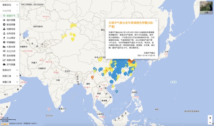
Extreme weather in China
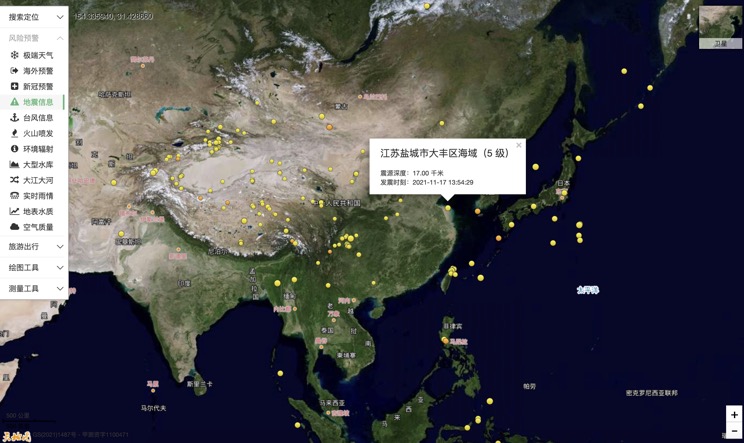
China Earthquake Information
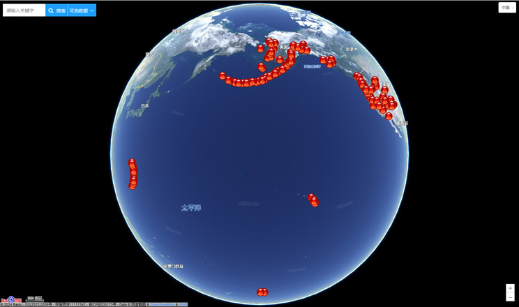
Volcano eruption
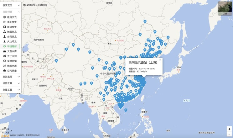
Environmental Radiation in China
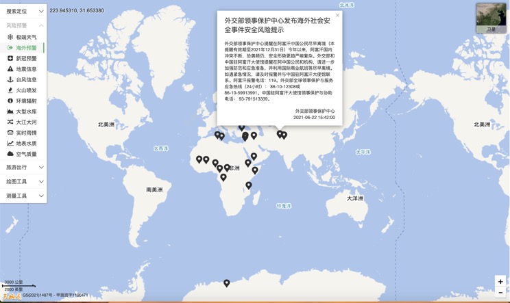
Overseas Warning
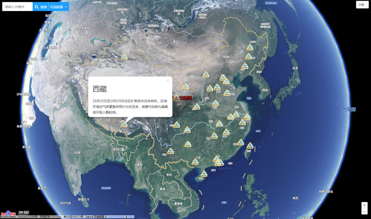
China's air quality
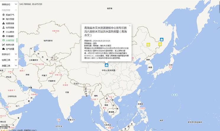
China's Water Disaster Alert
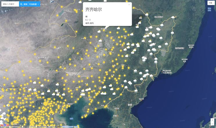
China Weather Forecast
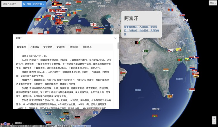
Introduction to Countries
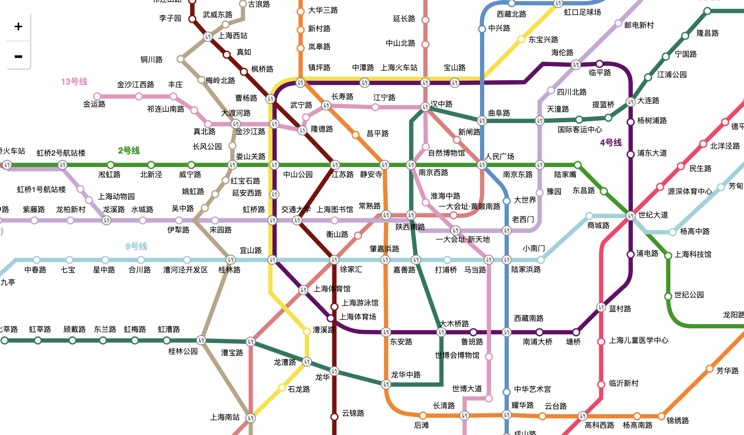
China Subway Lines
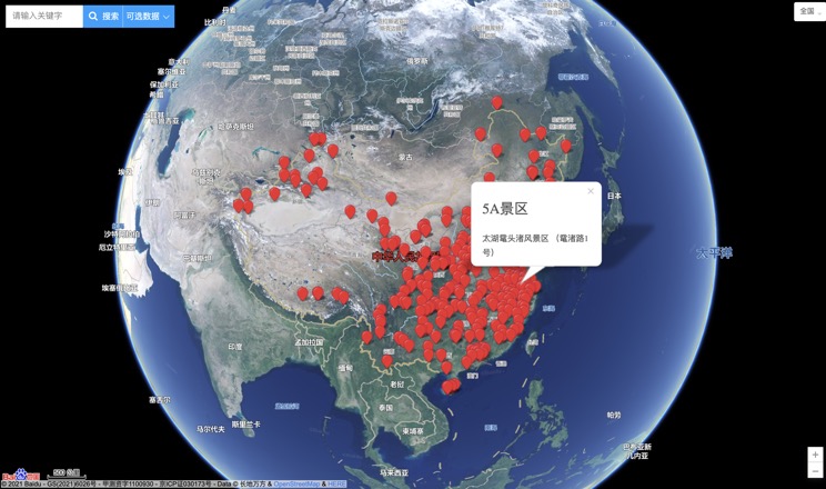
China's 5A Scenic Spots
Provincial Capitals in China
