Ajloun also written Ajlun (Arabic: عجلون, ‘Ajlūn) is the capital town of the Ajloun Governorate . A hilly town in the north of Jordan, located 76 kilometers (around 47 miles) north west of Amman. It is noted for its impressive ruins the 12th century castle which known nowadays as Ajlun Castle. The Ajlun Governorate has a population of over 142000 widespread in twenty seven villages and towns and area about 420 km2. The population of Ajlun Governorate is mainly composed of the following tribes: Al-Share, Al-Zghoul, Al-Qudah, Al-Momani, Al-smadi, Al-Shwayyat, Al-Freihat, Al-Khatatbah, and others. Haddad Owais and Rabadi are the main Christian tribes in Ajloun. although Christians are a minority in the governorate they form about the half of the population in Ajloun-City ,most of Christians resides in Ajloun-City along with Muslims of Al-smadi tribe, other tribes are distributed in the other districts of the governorate . Ajloun Governorate has four seats in the national parliament one of which is dedicated for the Christian minority.
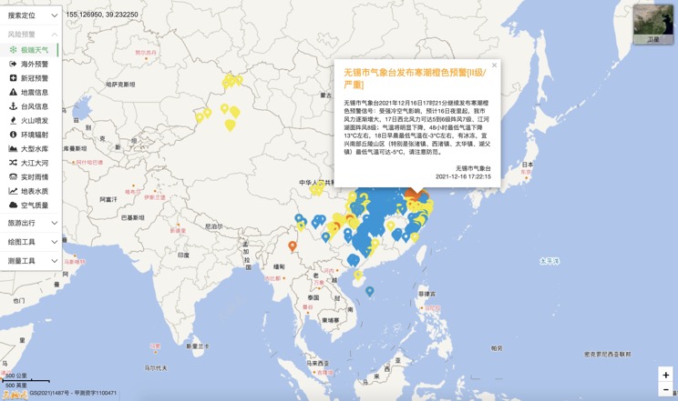
Extreme weather in China
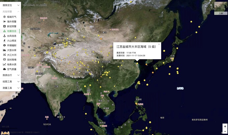
China Earthquake Information
Volcano eruption

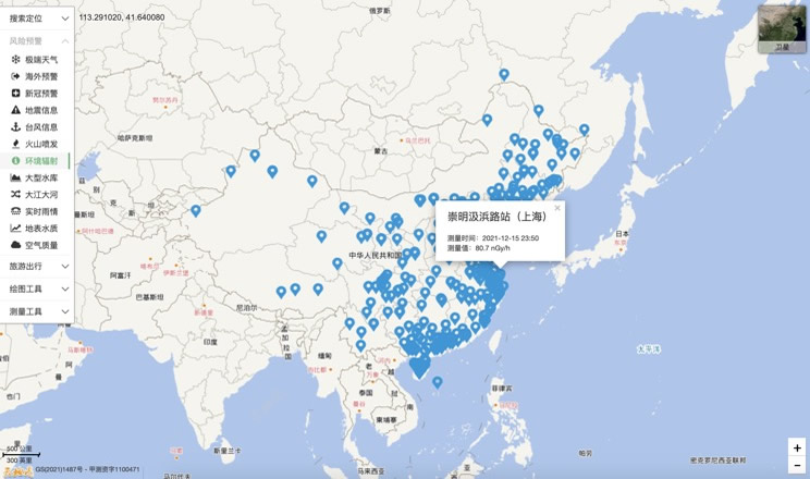
Environmental Radiation in China
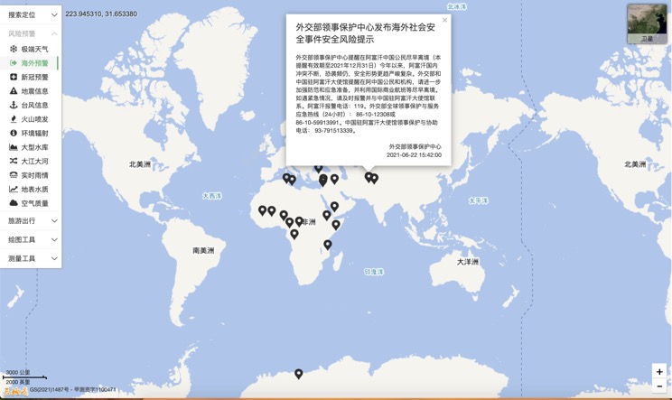
Overseas Warning
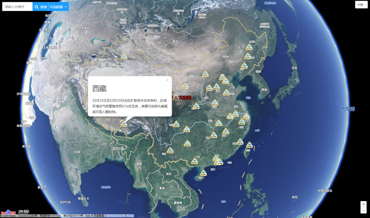
China's air quality
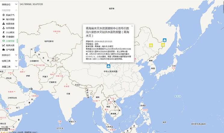
China's Water Disaster Alert
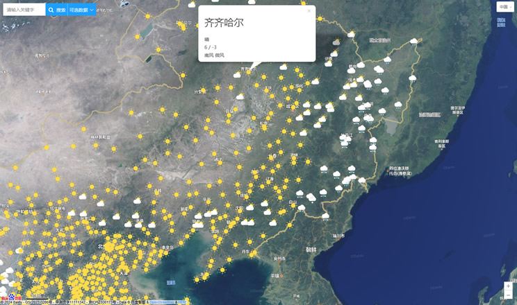
China Weather Forecast
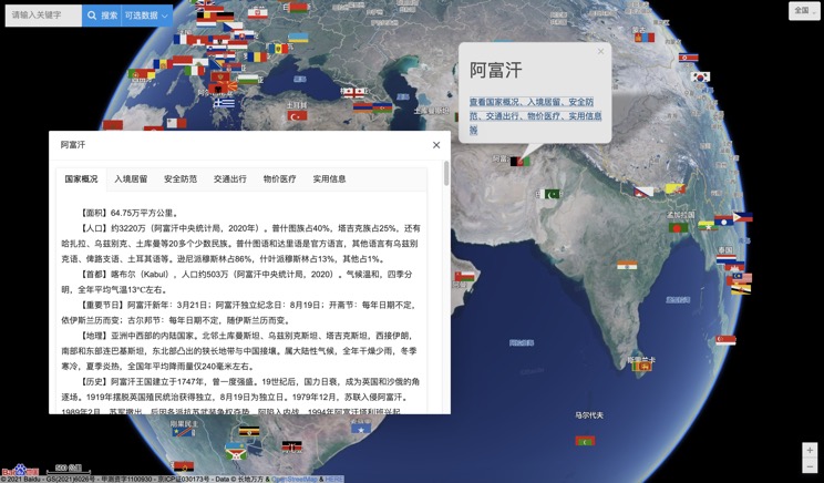
Introduction to Countries
China Subway Lines

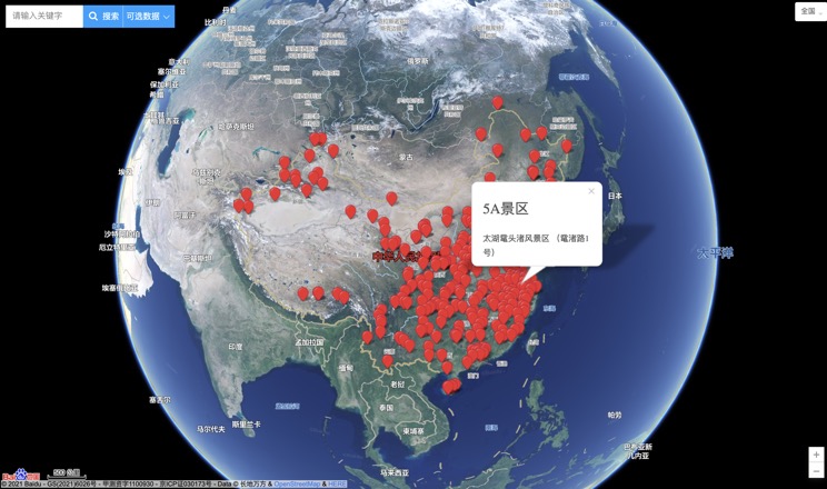
China's 5A Scenic Spots
Provincial Capitals in China
