West Bengal /bɛŋˈɡɔːl/ (proposed new English name: Paschim Banga (Bengali: )) is a state in the eastern region of India and is the nation's fourth-most populous. It is also the seventh-most populous sub-national entity in the world, with over 91 million inhabitants. Covering a total area of 34,267 sq mi (88,750 km2), it is bordered by the countries of Nepal, Bhutan, and Bangladesh, and the Indian states of Orissa, Jharkhand, Bihar, Sikkim, and Assam. The state capital is Kolkata (formerly Calcutta). West Bengal encompasses two broad natural regions: the Gangetic Plain in the south and the sub-Himalayan and Himalayan area in the north.
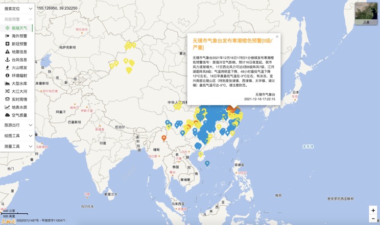
Extreme weather in China
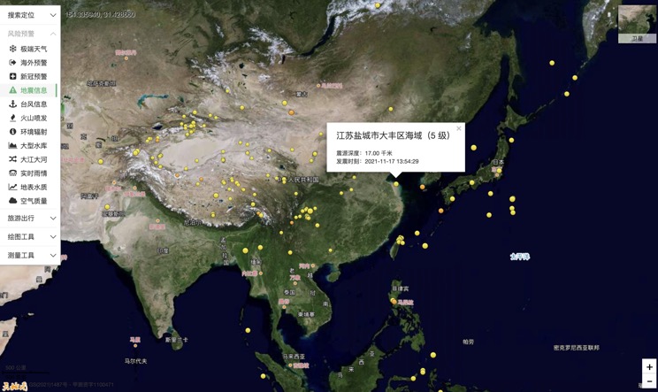
China Earthquake Information
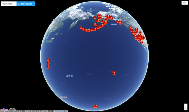
Volcano eruption
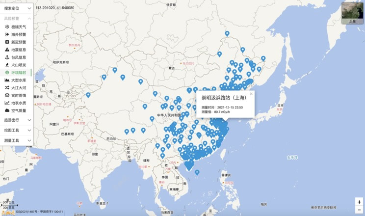
Environmental Radiation in China
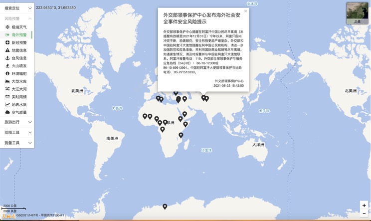
Overseas Warning
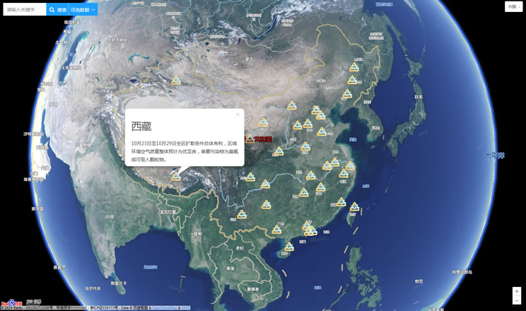
China's air quality
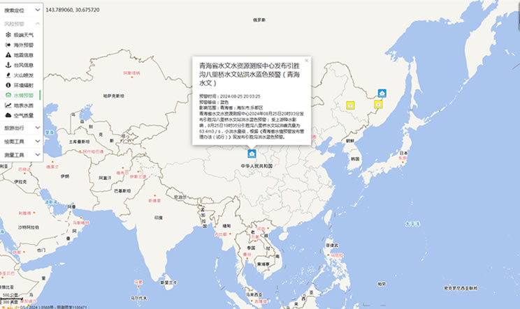
China's Water Disaster Alert
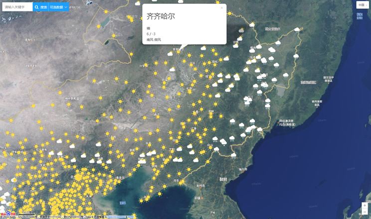
China Weather Forecast
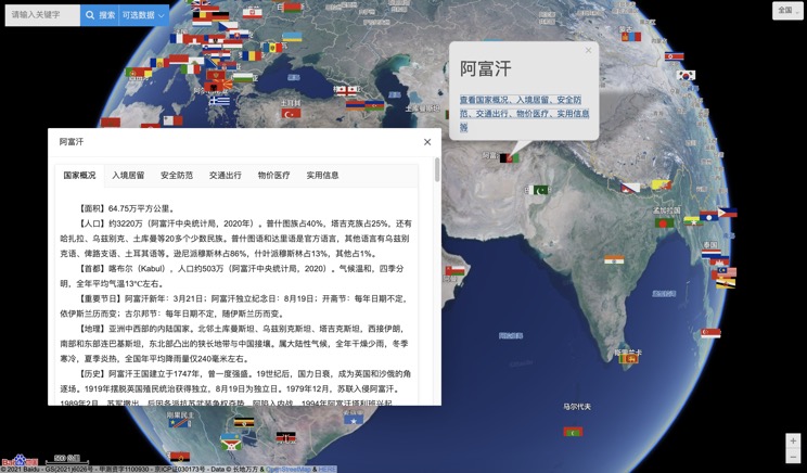
Introduction to Countries
China Subway Lines

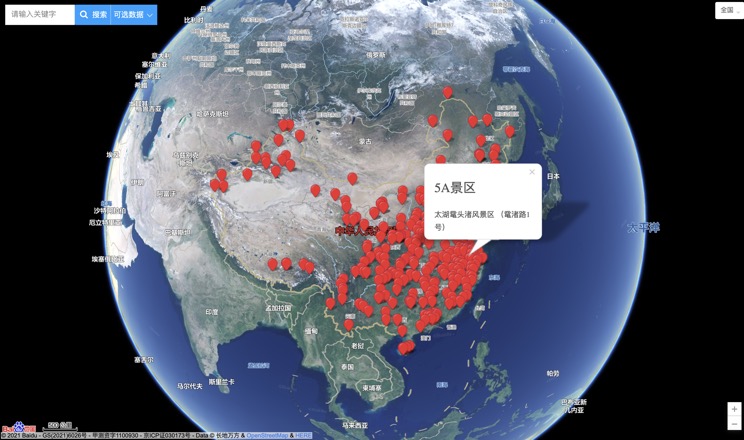
China's 5A Scenic Spots
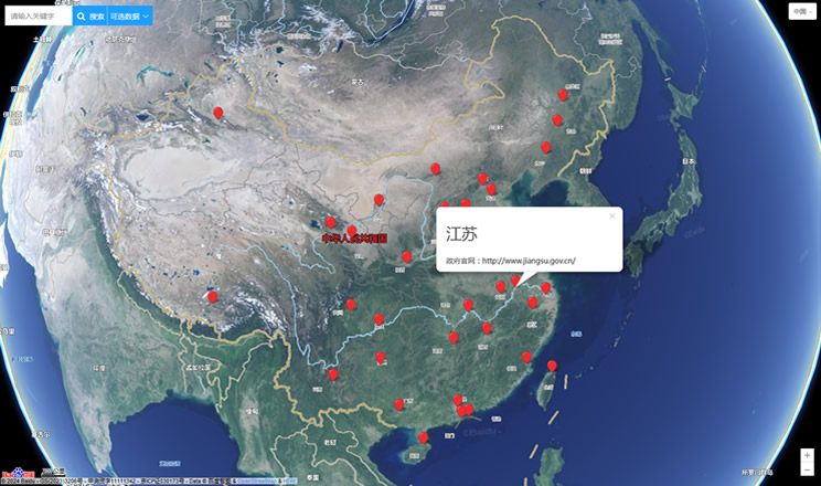
Provincial Capitals in China
