Punjab is a state in the northwest of the Republic of India, forming part of the larger Punjab region. The state is bordered by the Indian states of Himachal Pradesh to the east, Haryana to the south and southeast and Rajasthan to the southwest as well as the Pakistani province of Punjab to the west, it is also bounded to the north by Jammu and Kashmir. The state capital is located outside of the state itself, in Chandigarh, which is an Union Territory and also the capital of neighbouring state of Haryana. Major cities of Punjab includes Ludhiana, Amritsar, Patiala, Jalandhar, Moga, Phagwara, Rajpura, Bathinda and Mohali.
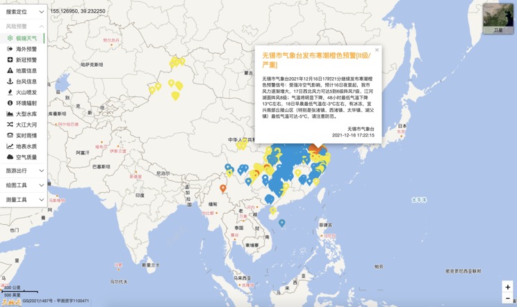
Extreme weather in China
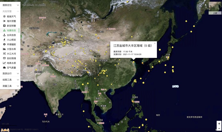
China Earthquake Information
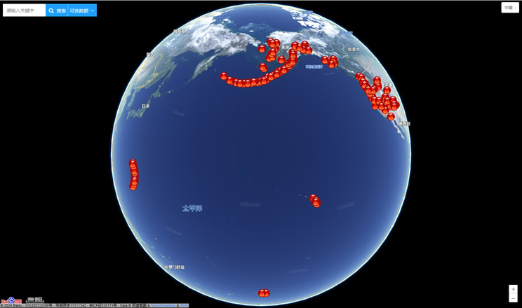
Volcano eruption
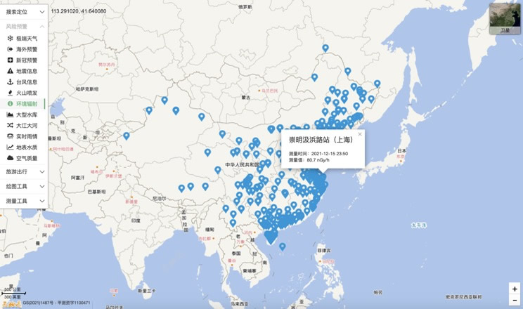
Environmental Radiation in China
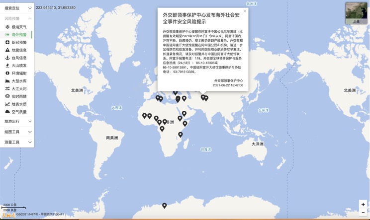
Overseas Warning
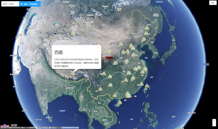
China's air quality
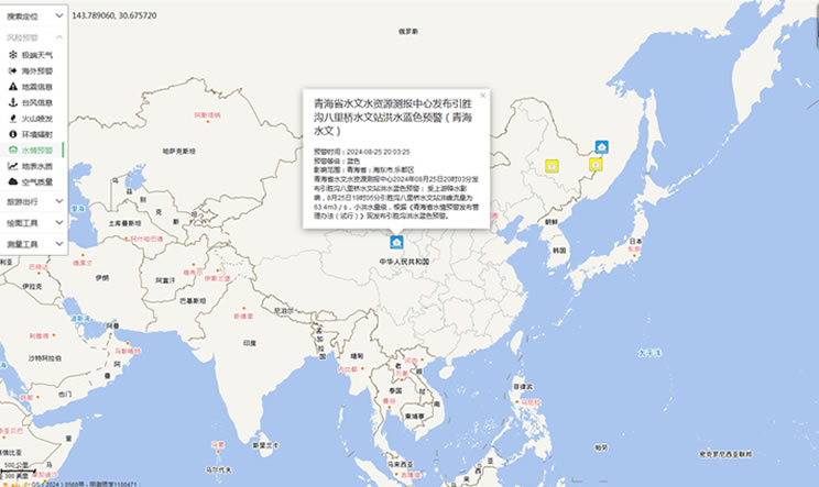
China's Water Disaster Alert
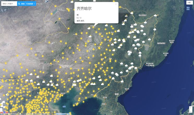
China Weather Forecast
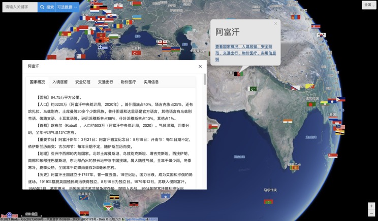
Introduction to Countries
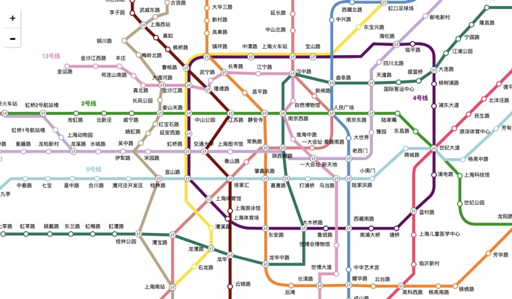
China Subway Lines
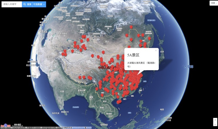
China's 5A Scenic Spots
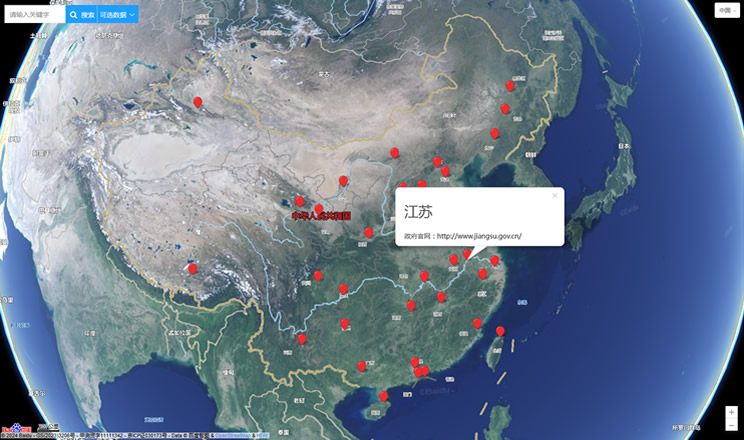
Provincial Capitals in China
