Mandi formerly known as Mandav Nagar, also known as Sahor (Tibetan: Zahor), is a major city and a municipal council in Mandi District in the Indian state of Himachal Pradesh. It is situated 143 kilometres (89 mi) north of state capital, Shimla.Located in the north-west Himalayas at an average altitude of 1,044 metres (3,425 ft), the city of Mandi, experiences pleasant summers and cold winters. Mandi is connected to the Pathankot through National Highway 20 which is almost 220 km(140 mi) long and to Manali and Chandigarh through National Highway 21 which is 323 km(201 mi) long. Mandi is approximately 184.6 km (114.7 mi) from Chandigarh, the nearest major city, and 440.9 km (273.9 mi) from New Delhi, the national capital. According to the 2001 Indian census, Mandi city has a population of 60,387. It is one of the largest city of Himachal Pradesh with a total area of 23 km2.City is currently the 2nd largest economy in the state next to Kangra. Mandi is the second-largest by population in state, next to Shimla. Mandi, in the state is having second highest sex ratio of 1013 females per thousand males.
Extreme weather in China
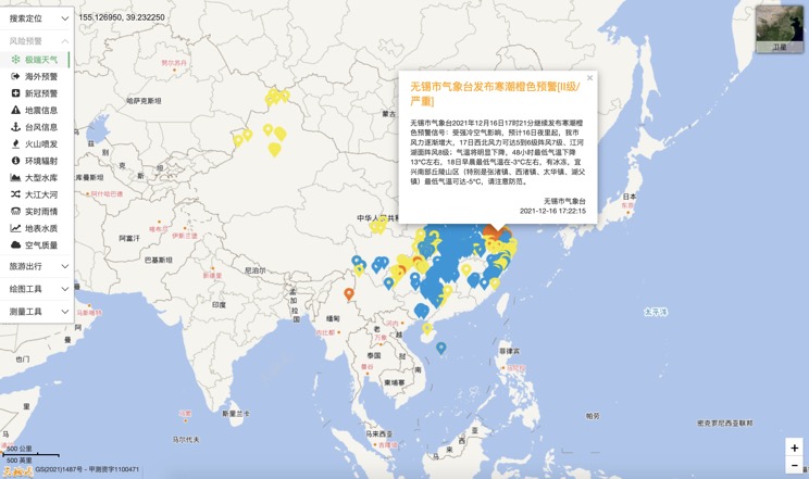
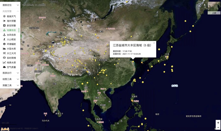
China Earthquake Information
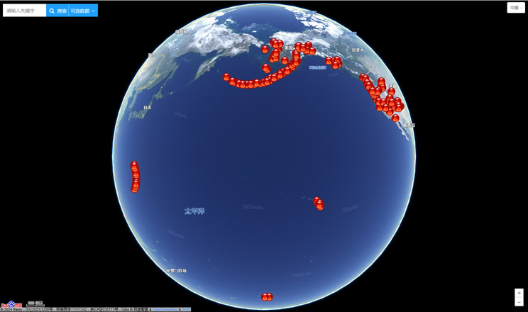
Volcano eruption
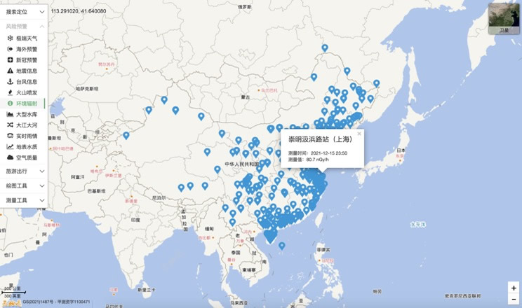
Environmental Radiation in China
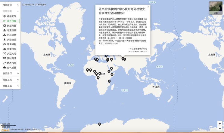
Overseas Warning
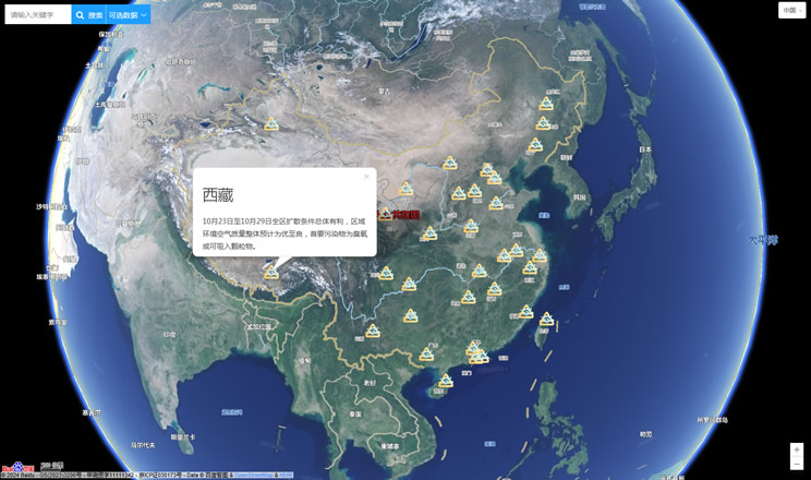
China's air quality
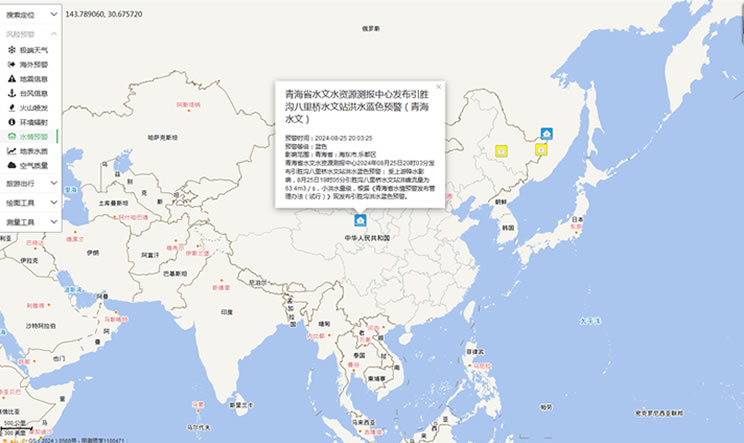
China's Water Disaster Alert
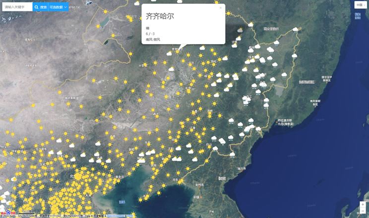
China Weather Forecast
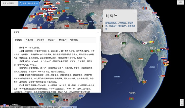
Introduction to Countries
China Subway Lines

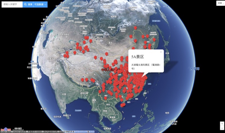
China's 5A Scenic Spots
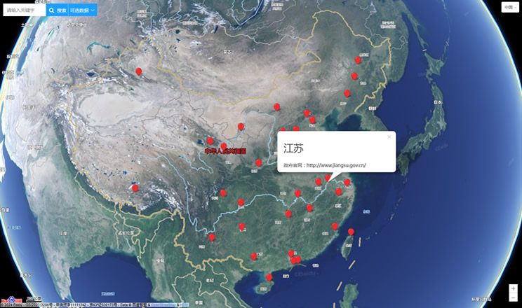
Provincial Capitals in China
