Kot Kapura is a historic city some 50 km from Bathinda, 40 km from Moga and 30 km from Muktsar in the state of Punjab, India. It is the largest city in the Faridkot District and has a large cotton market, considered one of the best in the world.It takes around 20 minutes by bus from Faridkot, 5 hours by from Chandigarh and 2.5 hours from Ludhiana,and 7 hours from New Delhi by train to reach the city. It is a central city on route to Ganganagar, Ludhiana, Bathinda, Firozpur. Kot Kapura takes its name from its founder, Nawab Kapura Singh, and the word "Kot", meaning a small fort – literally the "fort of Kapura".
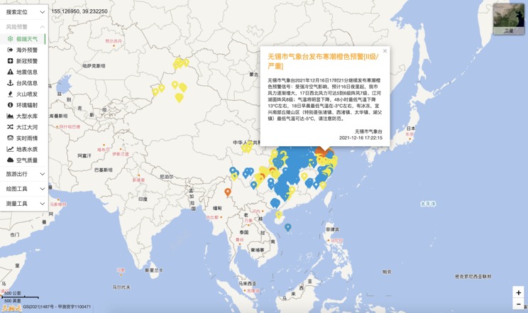
Extreme weather in China
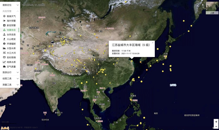
China Earthquake Information
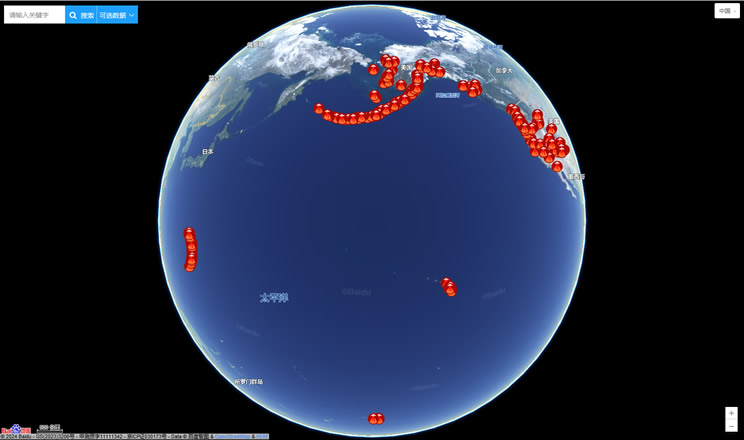
Volcano eruption
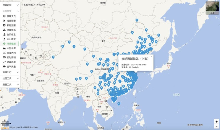
Environmental Radiation in China
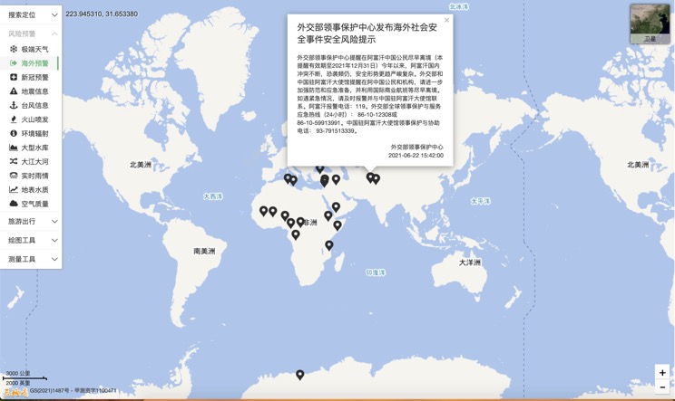
Overseas Warning
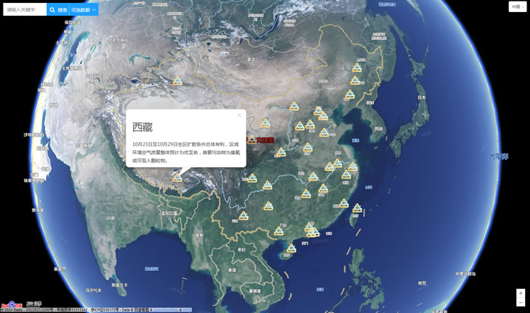
China's air quality
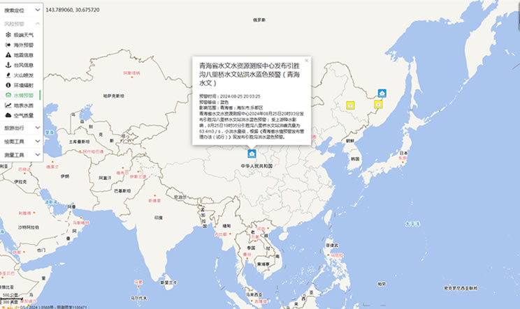
China's Water Disaster Alert
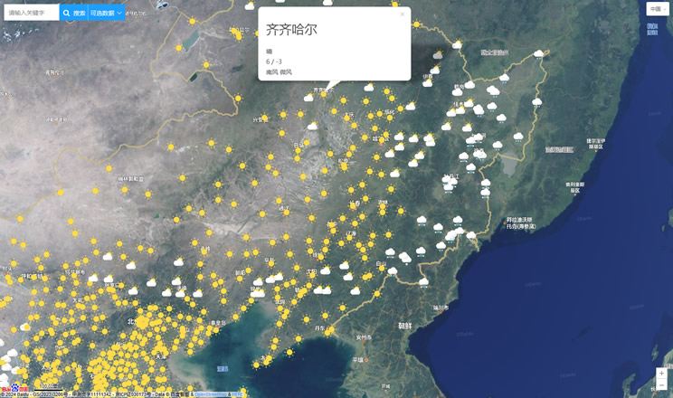
China Weather Forecast
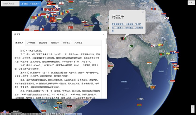
Introduction to Countries
China Subway Lines

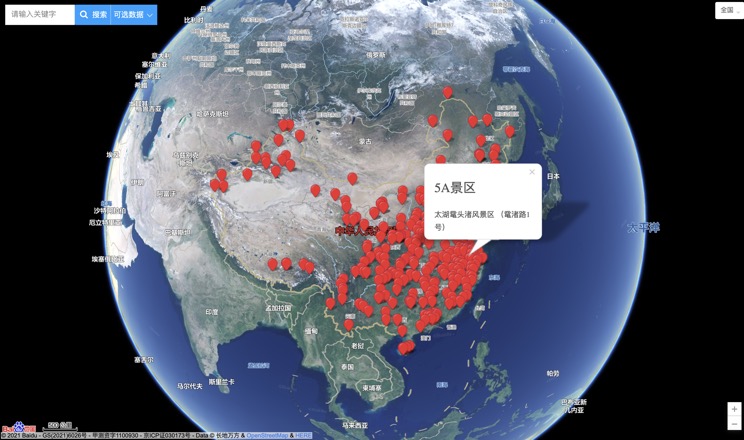
China's 5A Scenic Spots
Provincial Capitals in China
