Jamalpur is a district in Dhaka Division, Bangladesh. The main Jamalpur town consists of 12 wards and 80 mahallas. The municipality was established in 1869. The area of the town is 53.28 km². The town has a population of 116754; male 51.06%, female 48.94%. Density of population is 2191 per km². Literacy rate among the town people is 43.60%. It has a railway junction. Jamalpur, city in northern Bangladesh, in Dhaka Division. The city is located on the Brahmaputra River, 140 km (87 mi) north of Dhaka, the national capital. Jamalpur is an important market center for the rice, sugarcane, jute, tobacco, and mustard produced in the region. The city is connected by road, rail, and river with Dhaka and the rest of the country. It has two colleges affiliated with Dhaka University. Population (1991) 110,954.
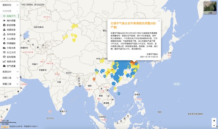
Extreme weather in China
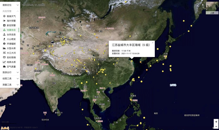
China Earthquake Information
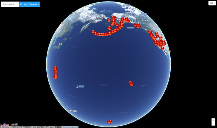
Volcano eruption
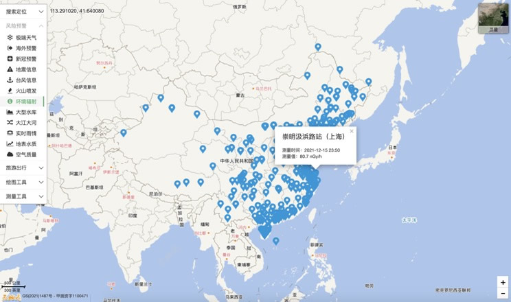
Environmental Radiation in China
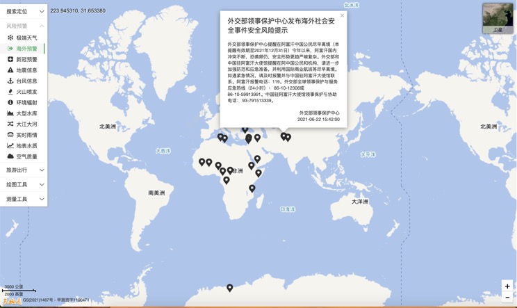
Overseas Warning
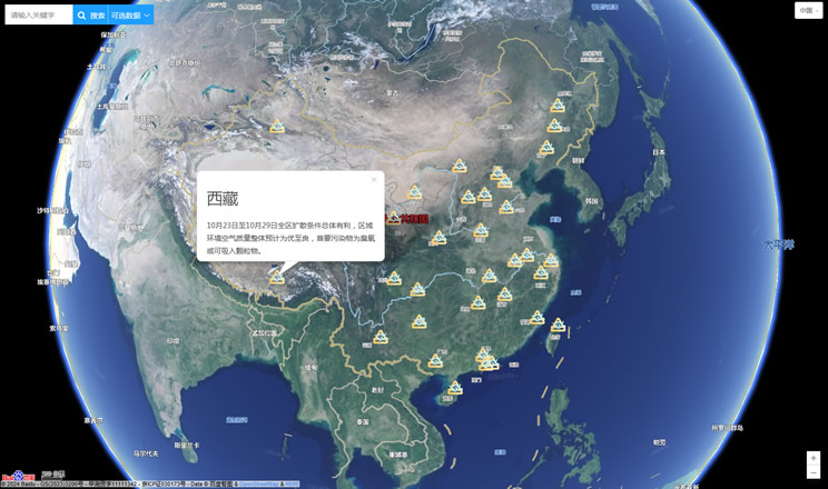
China's air quality
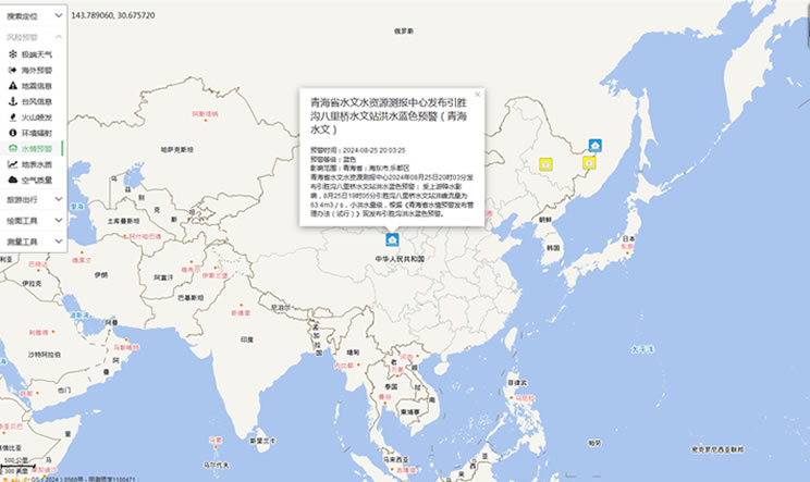
China's Water Disaster Alert
China Weather Forecast
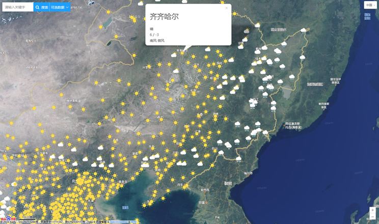
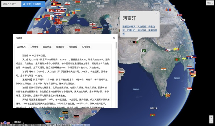
Introduction to Countries
China Subway Lines

China's 5A Scenic Spots
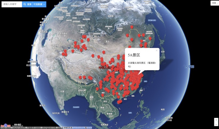
Provincial Capitals in China
