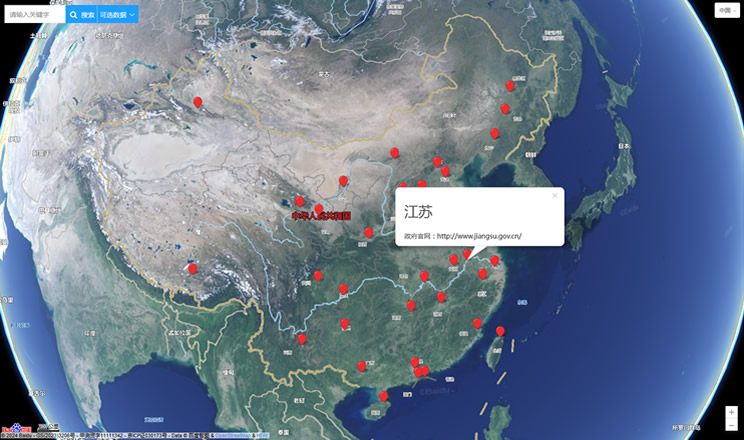
Inner Mongolia (Mongolian: s , Öbür Monggol and c Өвөр Монгол, Övör Mongol; Chinese: 内蒙古; pinyin: Nèi Měnggǔ, but officially romanized to Nei Mongol) is an autonomous region of the People's Republic of China, located in the northern region of the country. Inner Mongolia shares an international border with Mongolia and Russia. Its capital is Hohhot. Other major cities include Baotou, Chifeng, and Ordos.
The Autonomous Region was established in 1947 on the area of former Republic of China provinces of Suiyuan, Chahar, Rehe, Liaobei and Xing'an along with the northern parts of Gansu and Ningxia. It is the third-largest subdivision of China spanning about 1,200,000 km² (463,000 sq mi) or 12% of China's total land area. It has a population of about 24 million as of 2004. The majority of the population in the region are Han Chinese, with a substantial Mongol minority. The official languages are Chinese and Mongolian, the latter written in the Mongolian script, as opposed to the Mongolian Cyrillic alphabet used in the state of Mongolia.
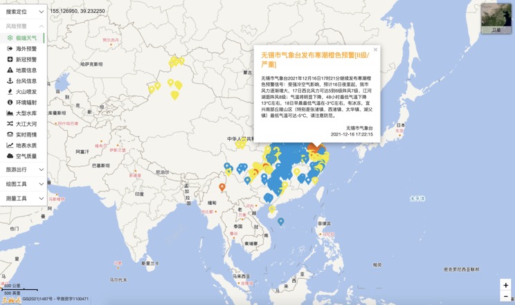
Extreme weather in China
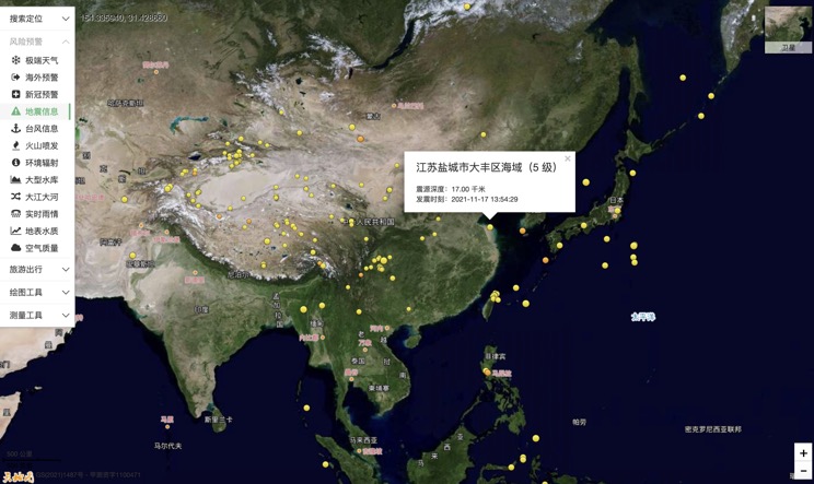
China Earthquake Information
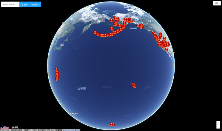
Volcano eruption
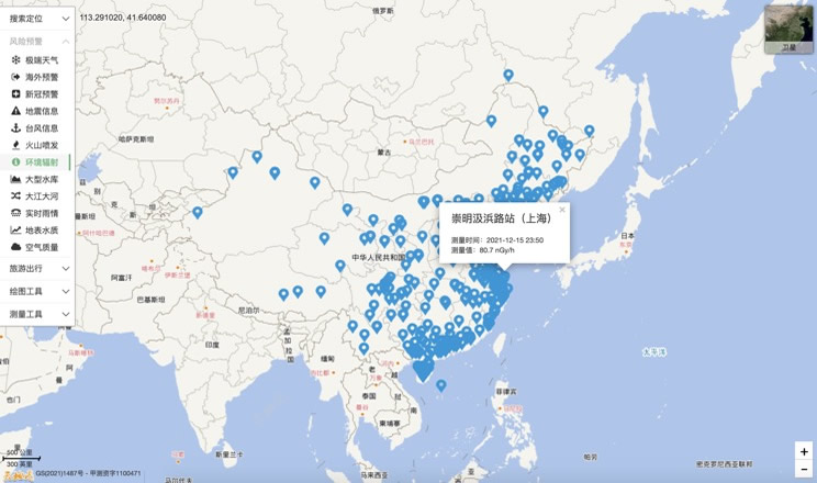
Environmental Radiation in China
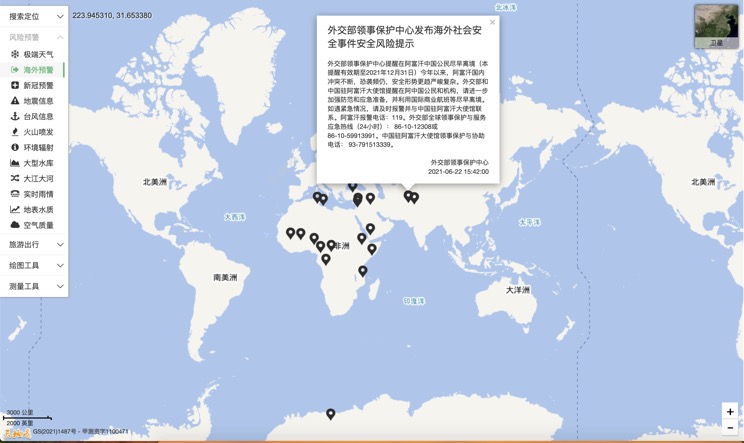
Overseas Warning
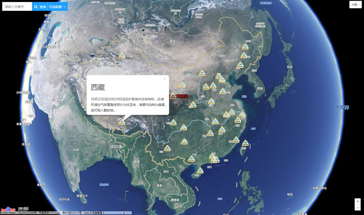
China's air quality
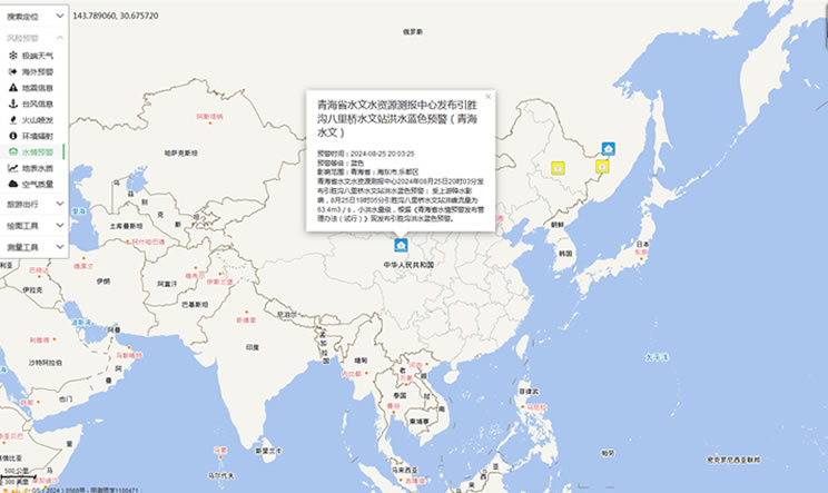
China's Water Disaster Alert
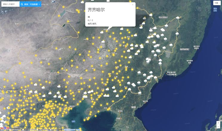
China Weather Forecast
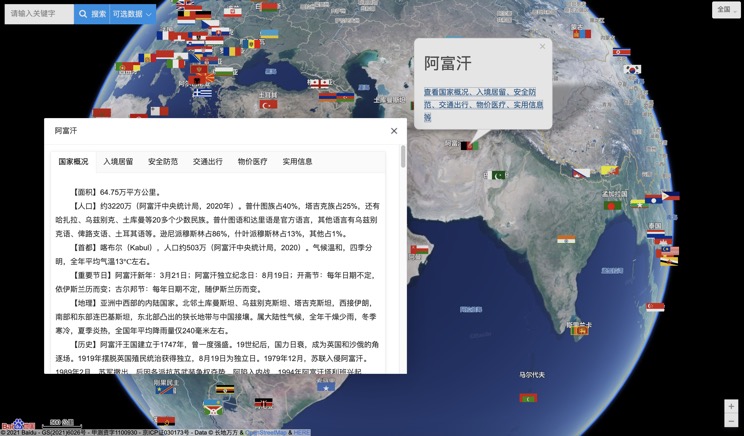
Introduction to Countries
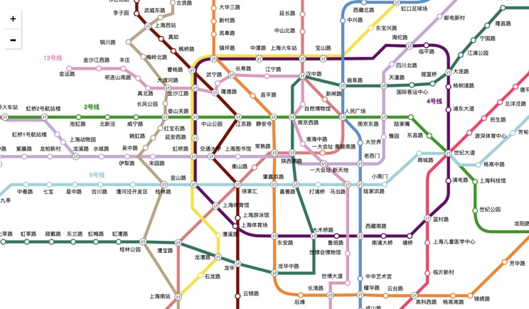
China Subway Lines
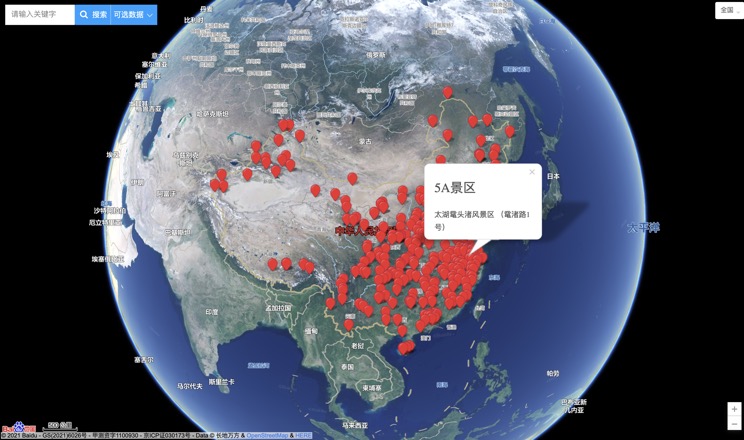
China's 5A Scenic Spots
Provincial Capitals in China
