The main northwest part of the province is flat, a rarity in Kyrgyzstan. This is the valley of the Chu River. The valley's black soil is very fertile and is largely irrigated with water diverted from the Chu River. Agricultural production includes wheat, maize, sugar beets, potatoes, lucerne, and various vegetables and fruits. During the Soviet period, various agro-processing and other industries were established throughout the province, giving rise to a number of urban centers such as Tokmok, Kant and Kara-Balta. The population is considerably more heterogeneous than that of the other regions of the country, with many ethnic Russians, Ukrainians, Dungans, Koreans, Germans, etc.
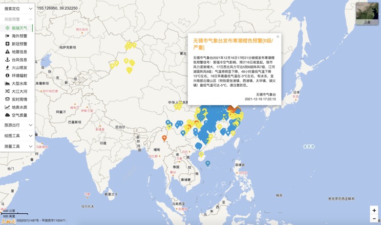
Extreme weather in China
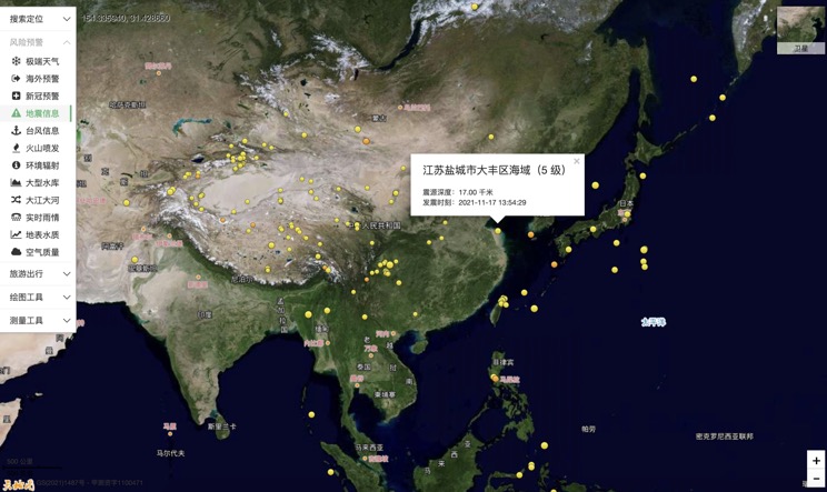
China Earthquake Information
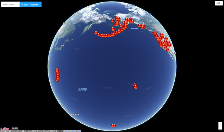
Volcano eruption
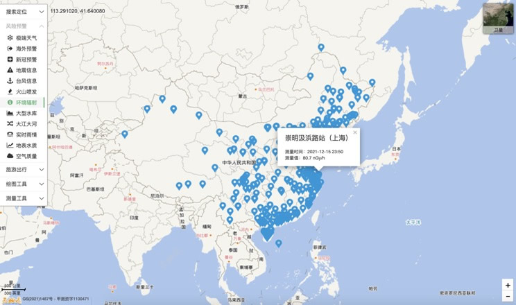
Environmental Radiation in China
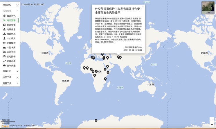
Overseas Warning
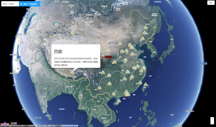
China's air quality
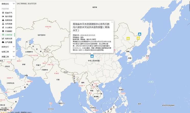
China's Water Disaster Alert
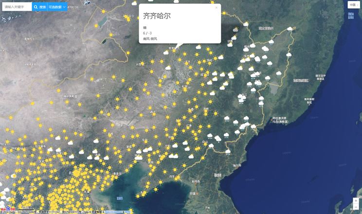
China Weather Forecast
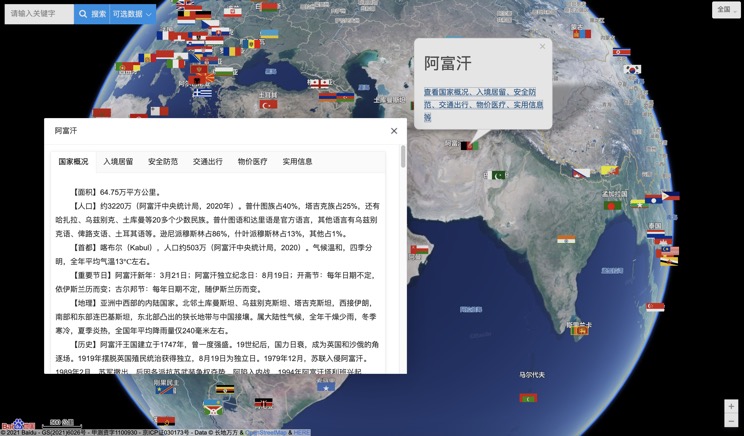
Introduction to Countries
China Subway Lines

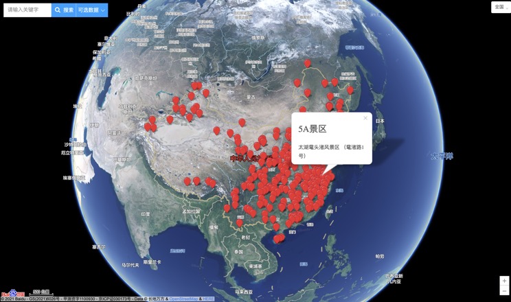
China's 5A Scenic Spots
Provincial Capitals in China
