Cần Thơ ( listen) is Vietnam's fourth largest city, and the largest city in the Mekong delta. It is noted for its floating market, rice-paper-making village, and picturesque rural canals. It had a population of 1.1 million as of 2004, and is located on the south bank of the Hau River, a branch of the Mekong. In 2007, a large bridge collapsed killing 50 people, Vietnam's worst engineering disaster. In 2011, Can Tho International Airport opened. The name Can Tho is a shortened form of cầm thi giang, meaning "river of poems". The city is nicknamed the "western capital" (Tây Đô), and is located 169 km from Ho Chi Minh City. Can Tho’s climate is tropical and monsoonal with two seasons: rainy, from May to November; and dry, from December to April. Average annual humidity is 83%, rainfall 1,635 mm and temperature 27 °C.
Extreme weather in China
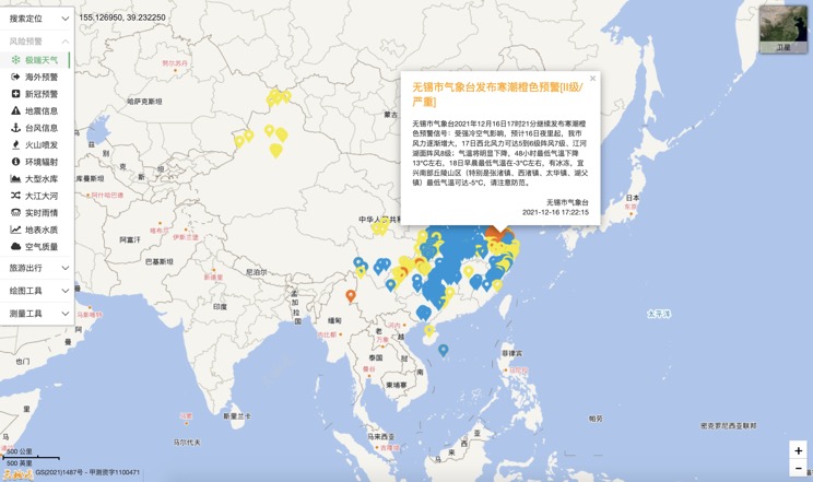
China Earthquake Information
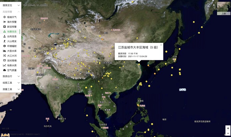
Volcano eruption
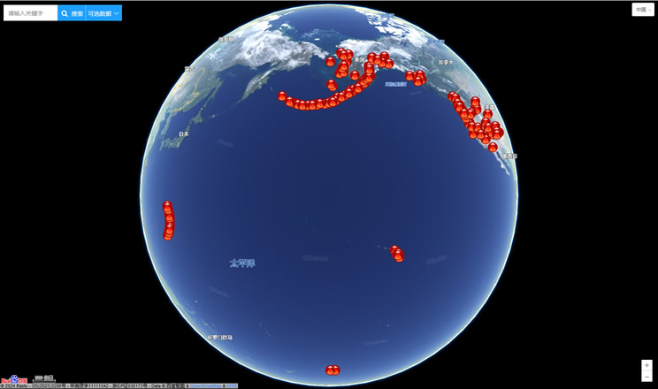
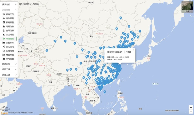
Environmental Radiation in China
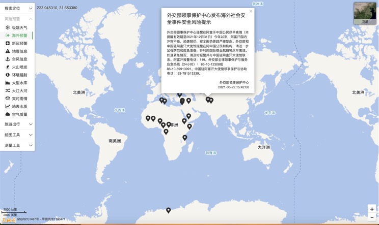
Overseas Warning
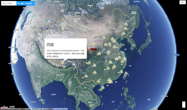
China's air quality
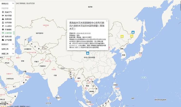
China's Water Disaster Alert
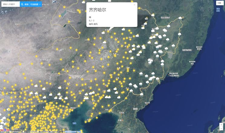
China Weather Forecast
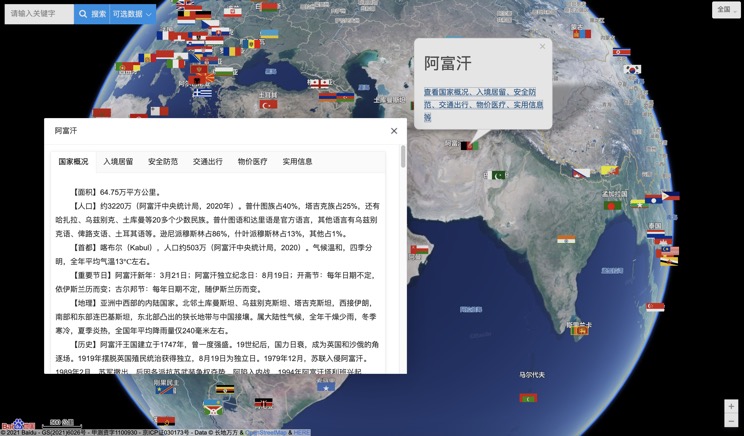
Introduction to Countries
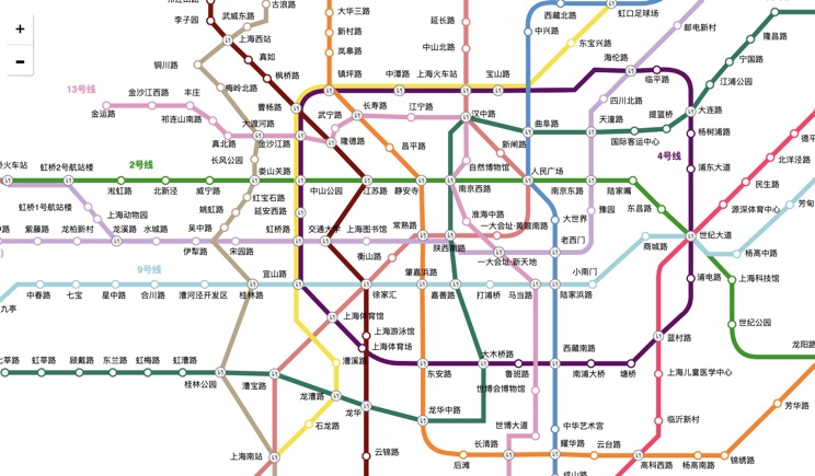
China Subway Lines
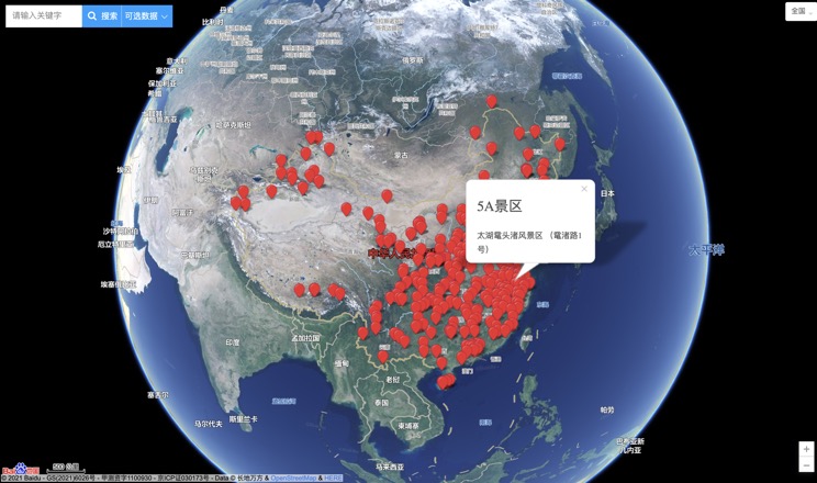
China's 5A Scenic Spots
Provincial Capitals in China
